All 105 Ecuador Volcanoes: Active, Mainland, Galapagos (Charts/Map)
How many volcanoes are in Ecuador? You would think that would be a pretty straightforward question. But as I was doing my research I found that the answers were very different depending on which website I was looking at. The statistics provided in this article are from the Geophysical Institute (Spanish site) in Ecuador. They are the official authorities on Ecuador volcanoes.
There are 105 volcanoes in Ecuador. 84 volcanoes are on continental (mainland) Ecuador. There are an additional 21 volcanoes in the Galapagos Islands Archipeligo. These numbers were current at the time of writing. And this post will be updated if/when these numbers increase.
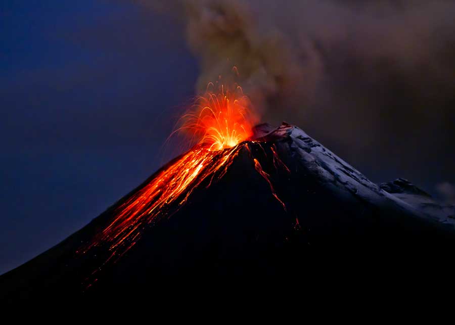
The number of volcanoes may continue to grow. This is because of more exploration in the country. What looks like a mountain may turn out to be an extinct volcano. For example, 5 new volcanoes were discovered in 2009 (BBC news article in Spanish).
Ecuador Volcano Guide
In this article, we will cover the full list of all 105 volcanoes, including their name, altitude, and the date of their most recent eruption.
We’ll also discuss some common questions about volcanoes in Ecuador.
Time Epochs
Before you delve into the tables below, let’s quickly talk about time periods. Volcanoes were formed during different epochs of time.
Those from the Holocene period are the youngest, and most likely to be active.
However, some of the volcanoes from earlier time epochs may also still be active.
- Holocene: 11,700 years ago to the present day
- Pleistocene: 2.5 million to 11,700 years ago
- Pliocene: 5.3 to 2.5 million years ago
- Miocene: 23 to 5.3 million years ago
Active vs Dormant vs Extinct
We should also talk about the 3 different volcano statuses. These definitions vary depending on who you ask, as there is no real consensus among volcano experts.
- Active: An active volcano may be in the process of erupting, or show other signs of unrest (such as degassing or seismic activity). Some experts include dormant volcanoes in this category.
- Dormant: Not currently erupting (or showing other signs of unrest), but is likely to erupt at some point in the future. Some claim that for a volcano to be dormant, it must be inactive for at least 10,000 years. But for the purpose of this article, we’re saying a volcano is dormant if it is not currently active.
- Extinct: Unlikey to erupt again as the volcano no longer has an active magma supply. Some volcanoes that are thought to be extinct may actuay be dormant.
84 Volcanoes on Mainland Ecuador
Here are the names, altitude, status, and last eruption date for the 84 volcanoes on mainland Ecuador.
Below the chart, is a map showing the location of each of these volcanoes.
| Ecuador Volcano Name | Altitude | Status | Last Eruption | |
|---|---|---|---|---|
| 1 | Aliso | 13,976 feet (4260 meters) | Dormant | ≈2450 BC |
| 2 | Almas Santas | 12,287 feet (3745 meters) | Extinct | more than 10,000 years ago |
| 3 | Altar | 17,451 feet (5319 meters) | Extinct | more than 10,000 years ago |
| 4 | Angahuana | 13,533 feet (4125 meters) | Extinct | more than 10,000 years ago |
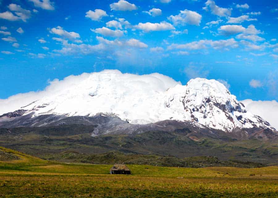
| 5 | Antisana | 18,891 feet (5758 meters) | Dormant | 1802 |
| 6 | Atacazo-Ninahuilca | 14,616 feet (4455 meters) | Dormant | ≈320 BC |
| 7 | Bermejo | 9,642 feet (2939 meters) | Extinct | more than 10,000 years ago |
| 8 | Carcacha | 12,510 feet (3813 meters) | Extinct | more than 10,000 years ago |
| 9 | Carihuairazo | 16,463 feet (5018 meters) | Extinct | more than 10,000 years ago |
| 10 | Casitagua | 11,545 feet (3519 meters) | Extinct | more than 10,000 years ago |
| 11 | Cerro Negro | 14,649 feet (4465 meters) | Active (Restless) | 1936? |
| 12 | Cerro Puntas | 14,928 feet (4550 meters) | Extinct | more than 10,000 years ago |
| 13 | Chacana | 14,741 feet (4493 meters) | Dormant | 1773 |
| 14 | Chachimbiro | 13,468 feet (4105 meters) | Dormant | 3740 BC? |
| 15 | Chalpatán | 11,890 feet (3624 meters) | Extinct | more than 10,000 years ago |
| 16 | Chalupas | 13,825 feet (4214 meters) | Extinct | more than 10,000 years ago |
| 17 | Chaquilulo | 11,972 feet (3649 meters) | Extinct | more than 10,000 years ago |
| 18 | Chaupiloma | 13,766 feet (4196 meters) | Extinct | more than 10,000 years ago |
| 19 | Chiles | 15,443 feet (4707 meters) | Dormant | 1936? |
| 20 | Chiltazón | 13,015 feet (3967 meters) | Extinct | more than 10,000 years ago |
| 21 | Chimborazo | 20,564 feet (6268 meters) | Dormant | ≈640 |
| 22 | Chinibano | 13,780 feet (4200 meters) | Extinct | more than 10,000 years ago |
| 23 | Chulamez | 11,699 feet (3566 meters) | Extinct | more than 10,000 years ago |
| 24 | Conos de Calpi | 10,548 feet (3215 meters) | Extinct | more than 10,000 years ago |
| 25 | Conos de Licto | 10,945 feet (3336 meters) | Dormant | Sometime during the Pleistocene or Holocene Epoch |
| 26 | Conos de Puyo | 3,517 feet (1072 meters) | Extinct | more than 10,000 years ago |
| 27 | Corazón | 15,689 feet (4782 meters) | Extinct | more than 10,000 years ago |
| 28 | Cosanga | 13,159 feet (4011 meters) | Extinct | more than 10,000 years ago |
| 29 | Cotacachi | 16,220 feet (4944 meters) | Extinct | more than 10,000 years ago |
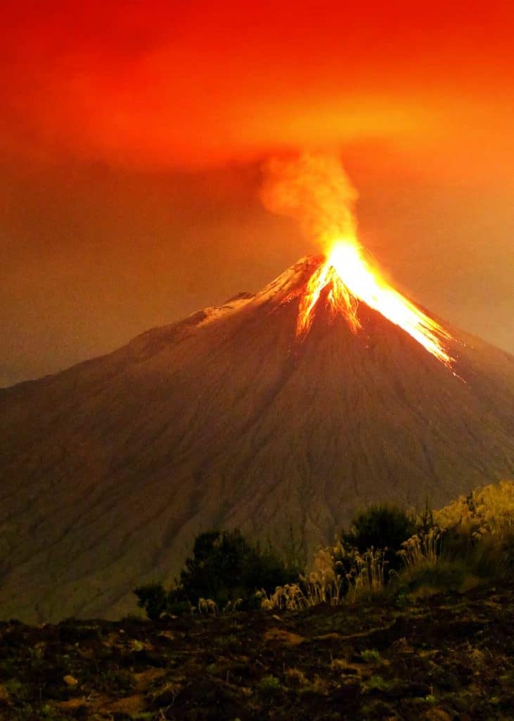
| 30 | Cotopaxi | 19,347 feet (5897 meters) | Dormant | 2015 |
| 31 | Coturco | 11,729 feet (3575 meters) | Extinct | more than 10,000 years ago |
| 32 | Cubilche | 12,559 feet (3828 meters) | Extinct | more than 10,000 years ago |
| 33 | Cuicocha | 11,079 feet (3377 meters) | Potentially Active (seismic activity and gas emissions) | 950 BCE |
| 34 | Cushnirumi | 12,388 feet (3776 meters) | Extinct | more than 10,000 years ago |
| 35 | Cusin | 13,087 feet (3989 meters) | Extinct | more than 10,000 years ago |
| 36 | Domos Huevos de Chivo | 12,139 feet (3700 meters) | Dormant | Sometime during the Holocene Epoch |
| 37 | El Dorado | 9,137 feet (2785 meters) | Dormant | Sometime during the Holocene Epoch |
| 38 | Fuya-Fuya | 14,039 feet (4279 meters) | Extinct | more than 10,000 years ago |
| 39 | Guagua Pichincha | 15,669 feet (4776 meters) | Potentially Active (seismic unrest) | 2004 |
| 40 | Horqueta | 12,139 feet (3700 meters) | Extinct | more than 10,000 years ago |
| 41 | Huañuña | 13,947 feet (4251 meters) | Dormant | Sometime during the Holocene Epoch |
| 42 | Huicutambo | 11,594 feet (3534 meters) | Extinct | more than 10,000 years ago |
| 43 | Huisla | 12,346 feet (3763 meters) | Extinct | more than 10,000 years ago |
| 44 | Igualata | 14,534 feet (4430 meters) | Extinct | more than 10,000 years ago |
| 45 | Iguán | 12,717 feet (3876 meters) | Extinct | more than 10,000 years ago |
| 46 | Ilaló | 10,459 feet (3188 meters) | Extinct | more than 10,000 years ago |
| 47 | Iliniza Norte | 16,749 feet (5105 meters) | Dormant | Sometime during the Holocene Epoch |
| 48 | Iliniza Sur | 17,208 feet (5245 meters) | Dormant | Sometime during the Holocene Epoch |
| 49 | Imbabura | 15,161 feet (4621 meters) | Dormant | ≈5550 BC |
| 50 | Izambi | 14,291 feet (4356 meters) | Extinct | more than 10,000 years ago |
| 51 | Machángara | 11,352 feet (3460 meters) | Extinct | more than 10,000 years ago |
| 52 | Mangus | 12,940 feet (3944 meters) | Extinct | more than 10,000 years ago |
| 53 | Mojanda | 13,983 feet (4263 meters) | Extinct | more than 10,000 years ago |
| 54 | Mulmul | 12,723 feet (3878 meters) | Extinct | more than 10,000 years ago |
| 55 | Nevado Cayambe | 18,996 feet (5790 meters) | Dormant | 1786 |
| 56 | Pambamarca | 13,369 feet (4075 meters) | Extinct | more than 10,000 years ago |
| 57 | Pan de Azúcar | 11,424 feet (3482 meters) | Extinct | more than 10,000 years ago |
| 58 | Parulo | 10,827 feet (3300 meters) | Extinct | more than 10,000 years ago |
| 59 | Pasochoa | 13,776 feet (4199 meters) | Extinct | more than 10,000 years ago |
| 60 | Pilavo | 13,858 feet (4224 meters) | Extinct | more than 10,000 years ago |
| 61 | Pilisurco | 14,790 feet (4508 meters) | Extinct | more than 10,000 years ago |
| 62 | Potrerillos | 13,665 feet (4165 meters) | Extinct | more than 10,000 years ago |
| 63 | Pululahua | 11,008 feet (3356 meters) | Dormant | 467 BCE |
| 64 | Pulumbura | 13,825 feet (4214 meters) | Extinct | more than 10,000 years ago |
| 65 | Pumayacu | 6726 feet (2050 meters) | Dormant | Sometime during the Holocene Epoch |
| 66 | Puñalica | 13,084 feet (3988 meters) | Dormant | Sometime during the Holocene Epoch |
| 67 | Putzalagua | 11,522 feet (3512 meters) | Extinct | more than 10,000 years ago |
| 68 | Quilindaña | 15,997 feet (4876 meters) | Extinct | more than 10,000 years ago |
| 69 | Quilotoa | 12,844 feet (3915 meters) | Dormant | 1797 |
| 70 | Reventador | 11,683 feet (3562 meters) | Active | 2009-2021 (ongoing) |
| 71 | Rucu Pichincha | 15,407 feet (4696 meters) | Extinct | more than 10,000 years ago |
| 72 | Rumiñahui | 15,492 feet (4722 meters) | Extinct | more than 10,000 years ago |
| 73 | Sagatoa | 13,678 feet (4169 meters) | Extinct | more than 10,000 years ago |
| 74 | Sangay | 17,257 feet (5260 meters) | Active | 2020 |
| 75 | Santa Cruz | 13,051 feet (3978 meters) | Extinct | more than 10,000 years ago |
| 76 | Sincholagua | 15,988 feet (4873 meters) | Extinct | more than 10,000 years ago |
| 77 | Soche | 12,972 feet (3955 meters) | Dormant | 6650 BC? |
| 78 | Sumaco | 12,244 feet (3732 meters) | Dormant | 1933 |
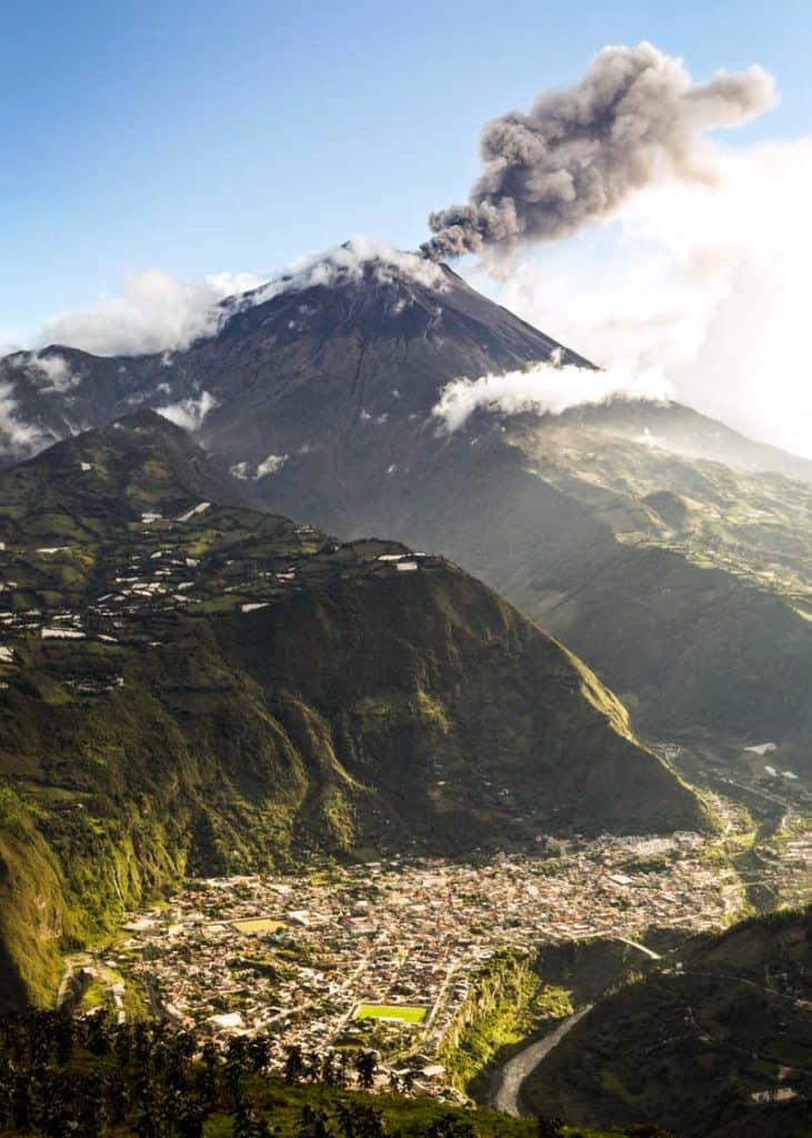
| 79 | Tungurahua | 16,475 feet (5023 meters) | Dormant | 2016 |
| 80 | Viejo Cayambe | 15,797 feet (4815 meters) | Extinct | more than 10,000 years ago |
| 81 | Virgen Negra | 12,001 feet (3658 meters) | Extinct | more than 10,000 years ago |
| 82 | Volcán Azul | 10,069 feet (3069 meters) | Extinct | more than 10,000 years ago |
| 83 | Yanaurcu | 10,259 feet (3127 meters) | Extinct | more than 10,000 years ago |
| 84 | Yanaurcu de Piñán | 14,879 feet (4535 meters) | Extinct | more than 10,000 years ago |
Map of Every Ecuador Volcano
Here’s a map of all 84 registered volcanoes on continental Ecuador from the Instituto Geofisico.
- Blue: Extinct or dormant volcanoes that last erupted more than 10,000 years ago.
- Yellow: Potentially active volcanoes that last erupted less than 10,000 years ago.
- Orange: Active volcano that last erupted less than 500 years ago.
- Red: Currently erupting (this map was created in 2011)
- Black: Main cities.

21 Galapagos Volcanoes
There are 21 emergent volcanoes in the Galapagos Islands. These are volcanoes that stick out above the surface of the water.
Here is the complete list of all Galapagos Islands volcanoes. It includes altitude, status, and last known eruption date.
6 Common Questions About Volcanoes in Ecuador
1. How many volcanoes are in Ecuador?
There are 105 volcanoes in Ecuador. 84 are on the mainland, and 21 make up the Galapagos Islands.
The ones on the mainland belong to the Nothern Volcanic Zone of the Andes Mountains.
2. How many active volcanoes in Ecuador?
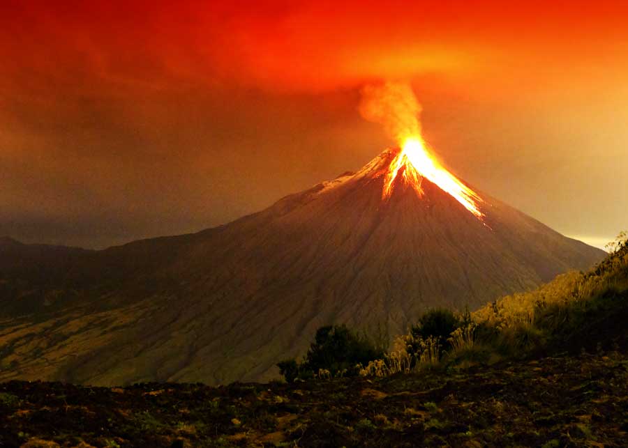
There are seven active volcanos in Ecuador, four on mainland Ecuador (Sangay, Tungurahua, Cotopaxi, Reventador) and three in the Galapagos Islands (La Cumbre, Sierra Negra, Wolf). These eight volcanoes have erupted in the past 10 years.
As stated earlier, some experts will only classify a volcano as being active if it is currently in some state of eruption or volcanic unrest.
Others include all dormant volcanoes in this category, as they are potentially active.
We’ll break it down into a few categories.
- Erupted in the last 500 years: 12 on mainland Ecuador, 8 in Galapagos (includes those that erupted in the last 100 and 10 years)
- Erupted in the last 100 years: 8 on mainland Ecuador, 7 in Galapagos (includes those that erupted in last 10 years)
- Erupted in the last 10 years: 4 on mainland Ecuador, 3 in Galapagos
3. What is Avenue of the Volcanoes?
Running north-south along the Andes mountains, you’ll find Avenida de los Volcanes. In English, this means Volcano Avenue (or Avenue of the Volcanoes).
It was named by Alexander von Humbolt, a Prussian naturalist, and geologist in 1802.
How long is Avenida de los Volcanes? This scenic route runs approximately 236 miles (380 km) by car. Cayambe Volcano is just 143 miles (230 km) from Sangay Volcano.
Along Avenida de los Volcanes, you’ll find nine principal volcanos.
- Cayambe
- Antisana
- Los Illinizas
- Cotopaxi
- Quilotoa
- Tungurahua
- Chimborazo
- Altar
- Sangay
4. What is the highest volcano in Ecuador?
The highest volcano (and mountain) in Ecuador is Chimborazo. It is 20,564 feet (6268 meters) tall. The top of Chimborazo is completely covered in glaciers.
Chimborazo is categorized as a stratovolcano. It has not erupted in the last 1300-1600 years.
5. Which volcanoes are near Quito?
As shown in the map above, Quito is surrounded by eight volcanoes in relatively close proximity.
The measurements below are from the center of Quito to the summit of the volcano, not from the edge of the city to the edge of the volcano.
So while Quito actually borders the base of Rucu Pichincha, it is second on our list as the summit is slightly further than the summit of Ilaló.
- Ilaló (Extinct) 6.3 miles, 10.1 kilometers, Southeast
- Rucu Pichincha (Extinct) 6.8 miles, 11 kilometers, West
- Guagua Pichincha (Potentially Active) 10.3 miles, 16.5 kilometers, West
- Casitagua (Extinct) 10.5 miles, 17 kilometers, North
- Coturco (Extinct) 12.4 miles, 20 kilometers, East
- Carcacha (Extinct) 13.2 miles, 21.3 kilometers, Southwest
- Atacazo-Ninahuilca (Potentially Active) 15.8 miles, 25.4 kilometers, Southwest
- Pasochoa (Extinct) 17.8 miles, 28.6 kilometers, South
Take the cable car for the best view above Quito.
6. Can I hike up a volcano in Ecuador?
You absolutely can climb up a volcano in Ecuador, but there are a few things to keep in mind. The first should be a given, do not climb up a volcano that is actively erupting!
Another thing to keep in mind is what sort of hike you would like to do.
Snow Line: The snow-line in the Andes in Ecuador begins between 15,748 and 16,404 feet (4,800 and 5,000 meters). Anything above that is covered with snow and glaciers and will require specialized equipment.
Even Chimborazo, the tallest volcano in Ecuador can be climbed. But at that point, it is less hiking and more mountaineering. There are 2 huts along the climb. The climb is not without risks, as in 1993 10 climbers perished in an avalanche.
The hike to the summit of Quilotoa volcano has been labeled as the most popular trek in all of Ecuador, and for good reason. In the crater of this dormant volcano is a beautiful turquoise lagoon.
From Quilotoa town, the hike around the rim of the crater is around 4.7 miles (7.5 kilometers). It should be noted that due to the acidity of the water, and cooler mountain temperatures, swimming is not recommended.
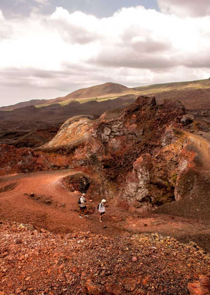
Lots of the other volcanoes can be hiked as well. And don’t forget to explore the Galapagos Islands, as all the land there was created by volcanic activity.
Here is Bryan and Dena’s experience hiking Sierra Negra.
More reading: Summiting Antisana Volcano in Ecuador: What to Expect
Your Turn:
Did you learn something new about the volcanoes in Ecuador? Have you ever had the opportunity to hike up a volcano in Ecuador? Which one was it? Please share your experience in the comments below.



Excellent presentation, Ioan Seghedi