What is Ecuador’s Weather? Annual Climate Charts from Across Ecuador
So, what is Ecuador’s weather like? To help you plan your trip, here are all the details on Ecuador’s four climate zones. Ecuador’s weather is quite moderate with just a few exceptions. In this detailed weather chart for Ecuador, you’ll learn the best time to visit the areas you’re interested in.
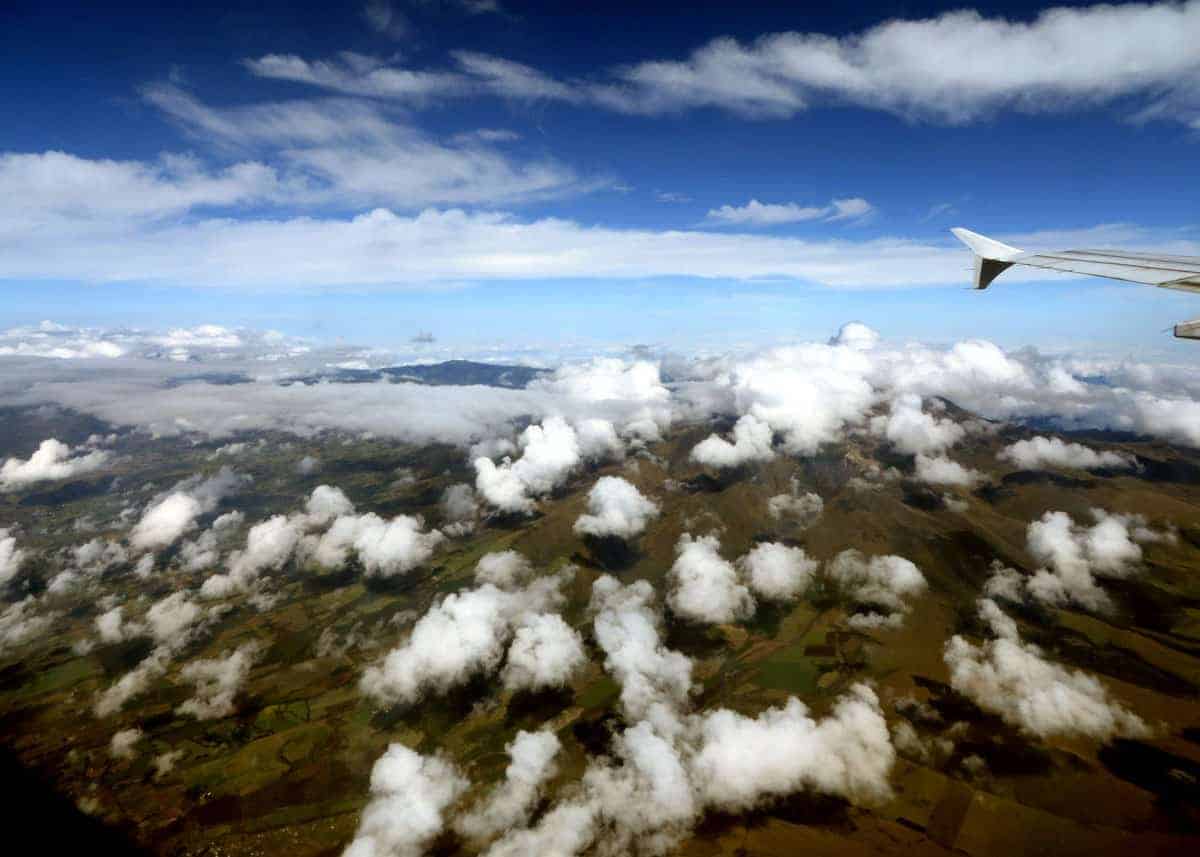
How’s the Weather in Ecuador?
In this guide, you’ll learn about Ecuador’s climate in the four major parts of the country. Because of the distinct weather patterns, each region needs its own weather chart. Learn more about the cities in Ecuador.
Going from west to east, we’ll cover Ecuador weather in:
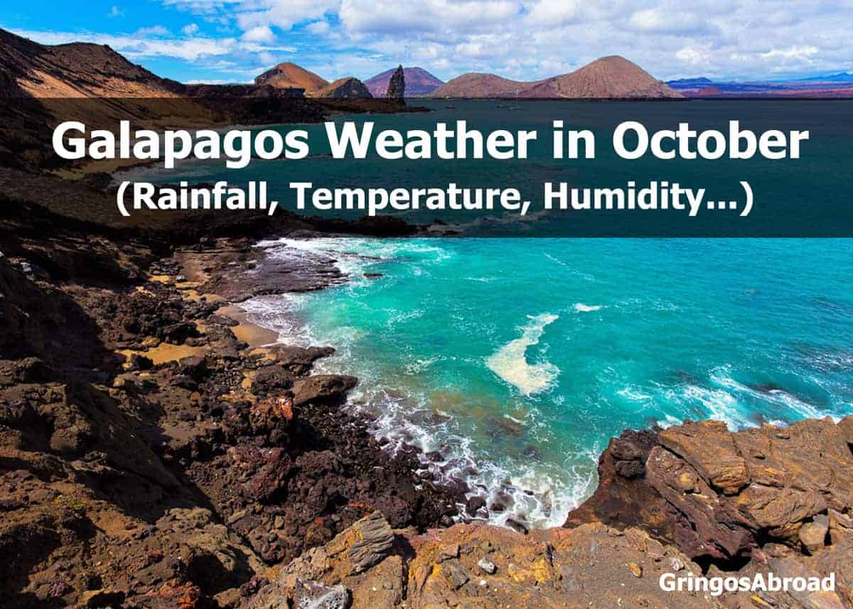
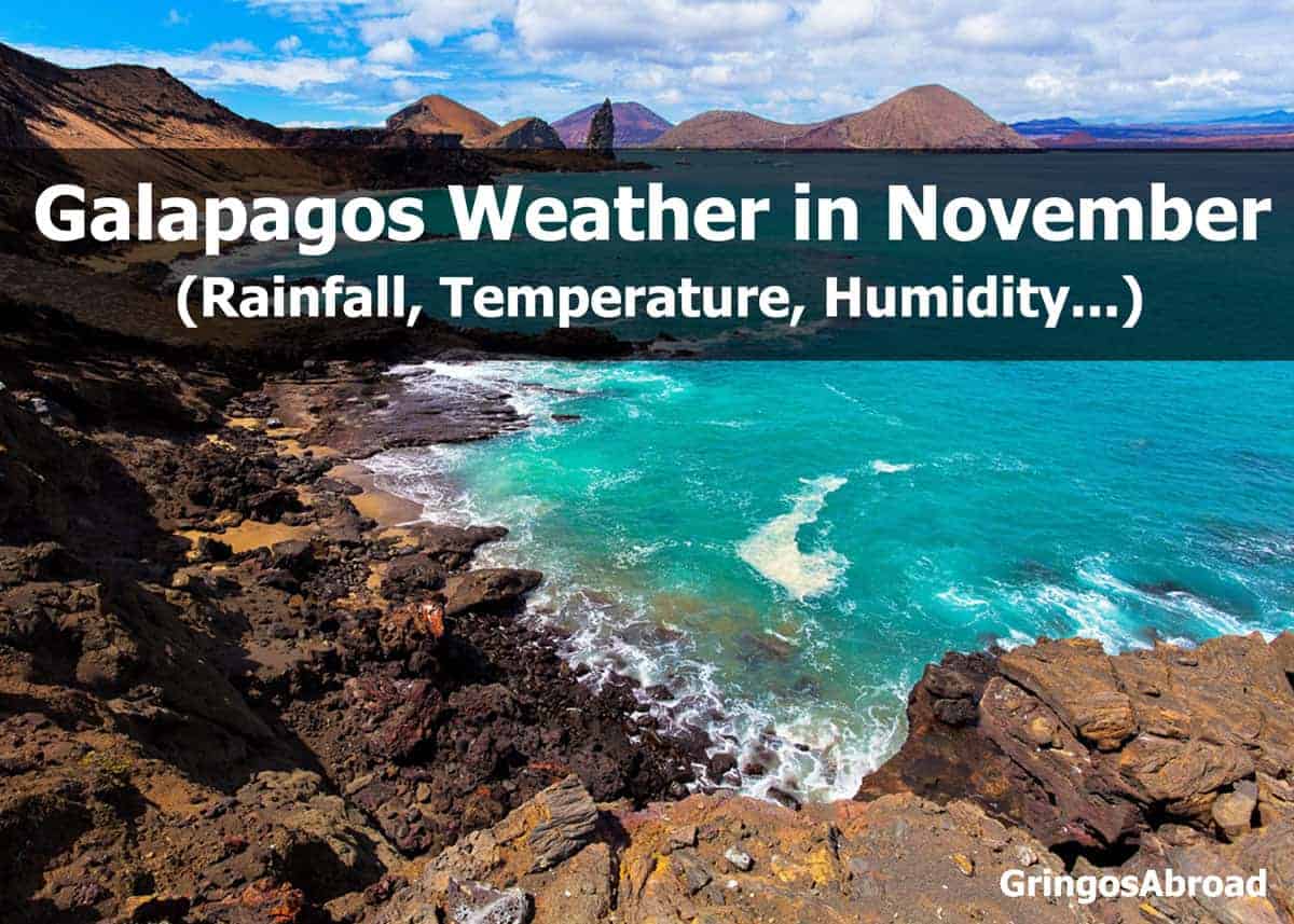
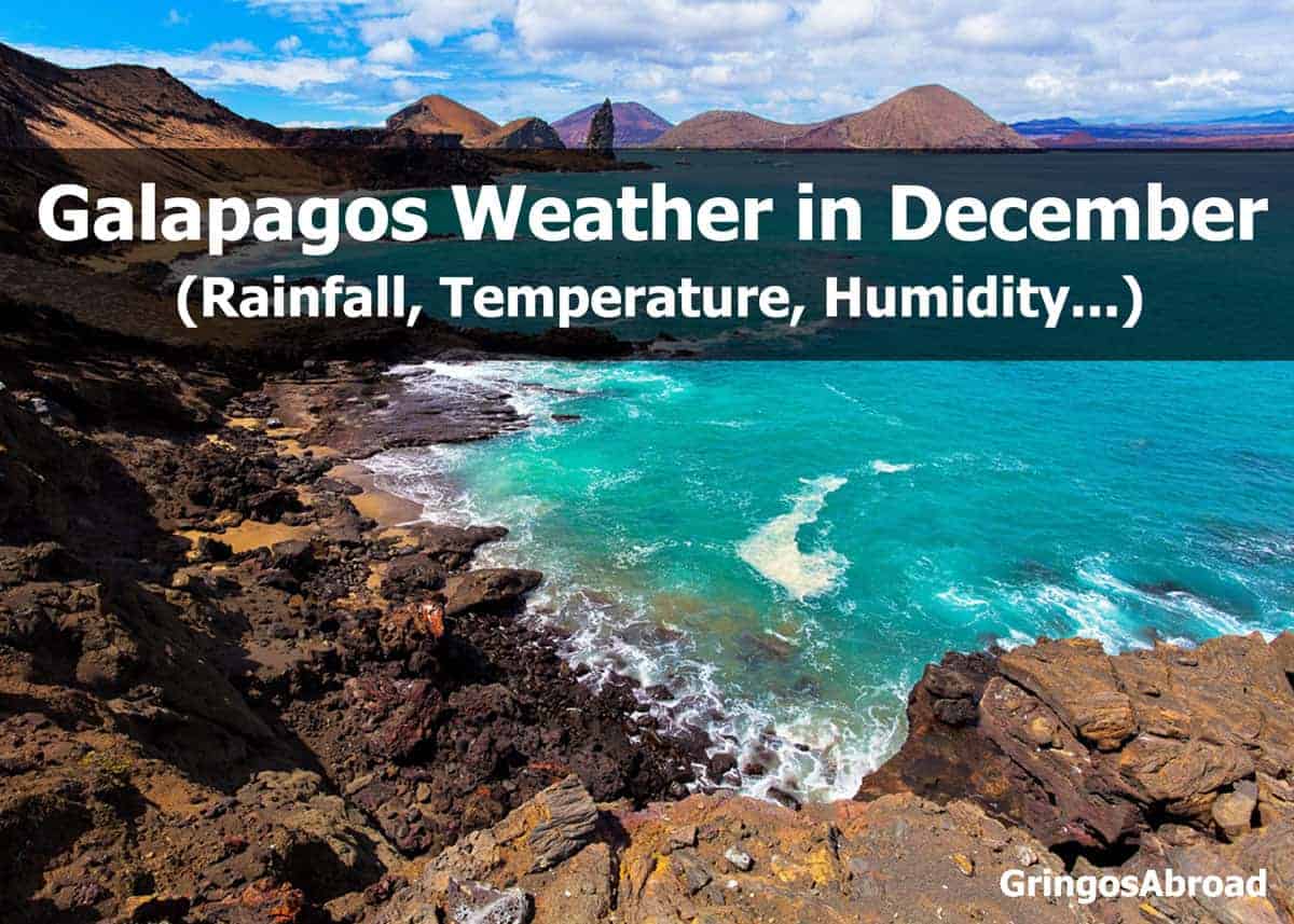
- Galapagos Islands (Santa Cruz Island)
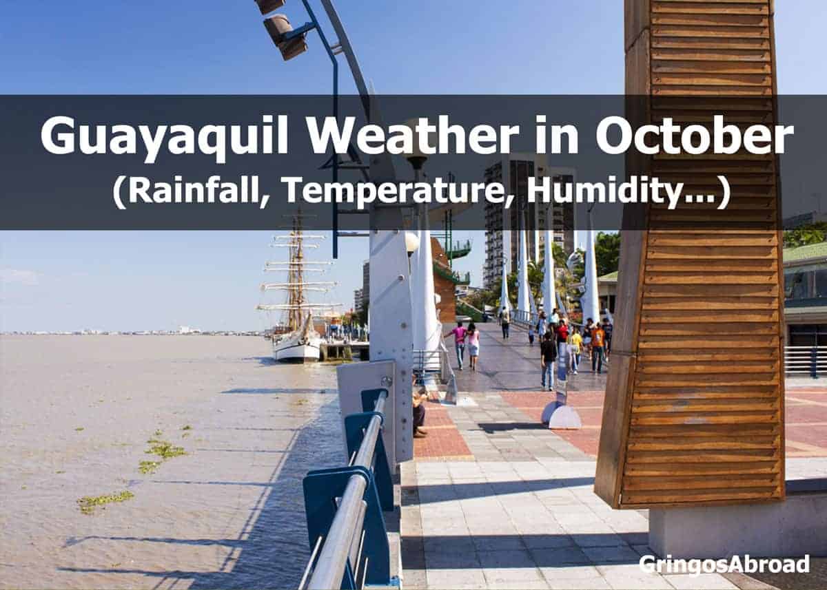
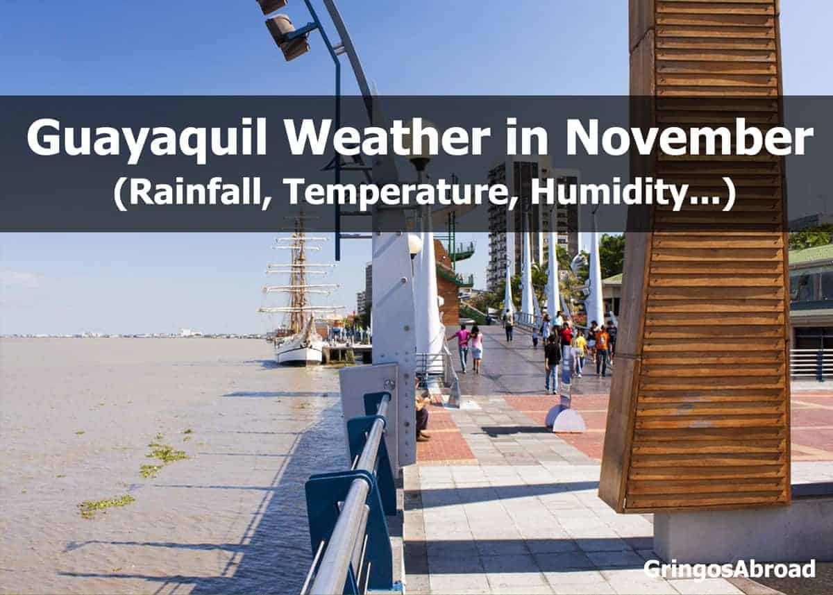
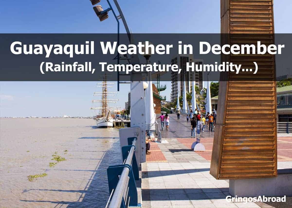
- Coast (Guayaquil)
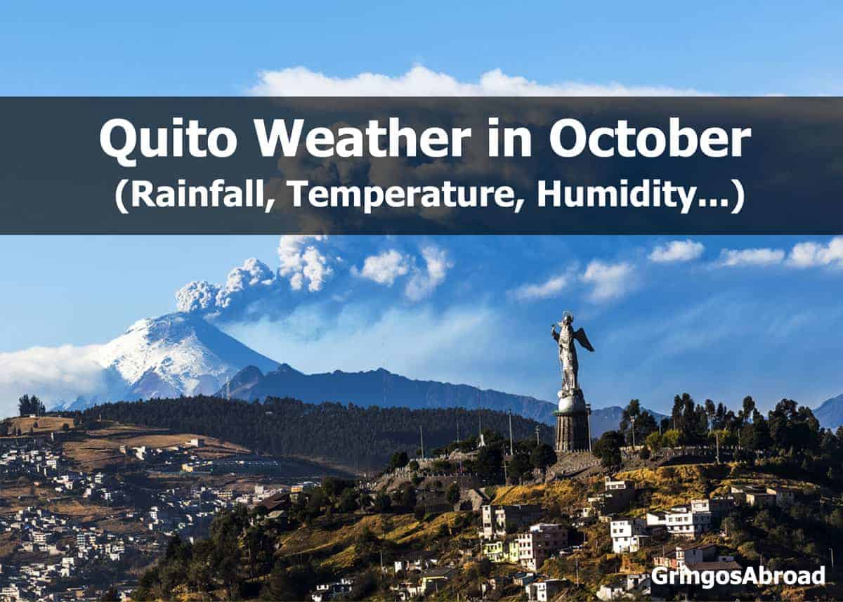
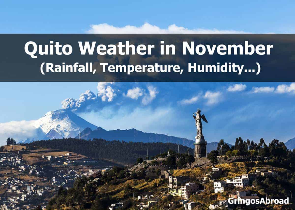
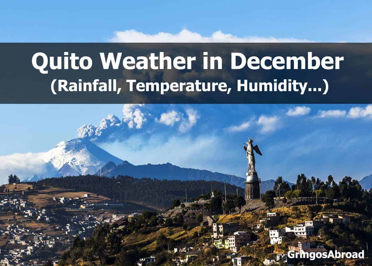
- Andes (Quito)
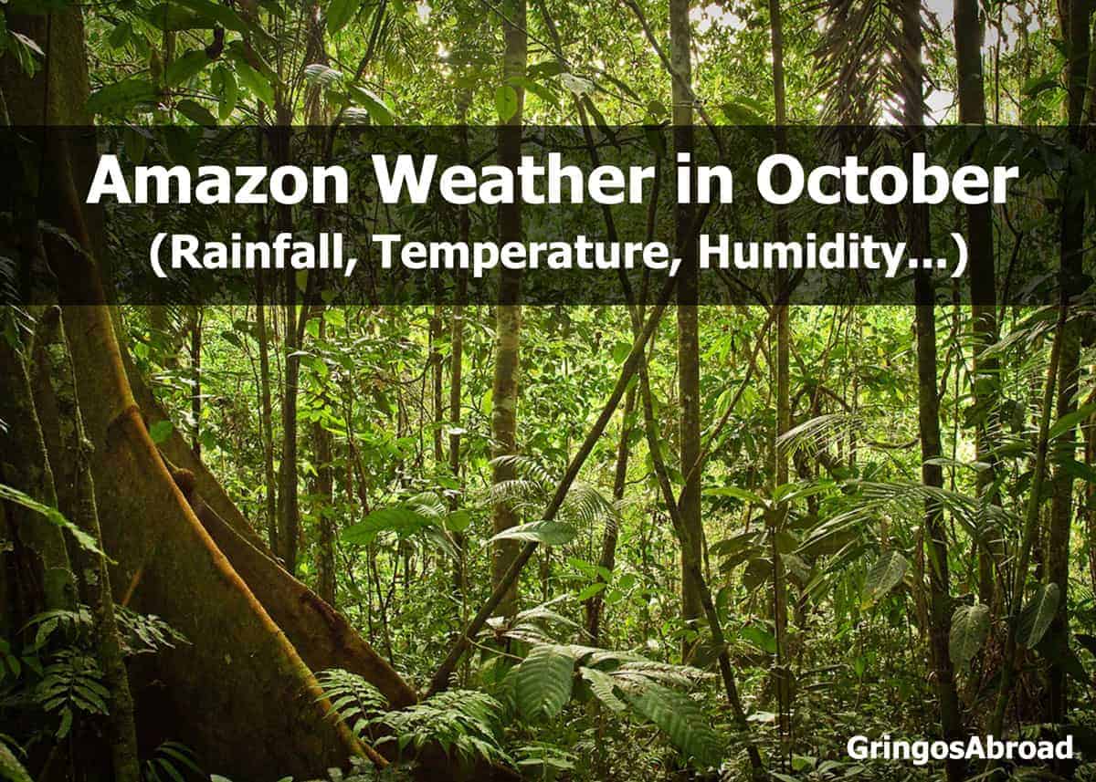
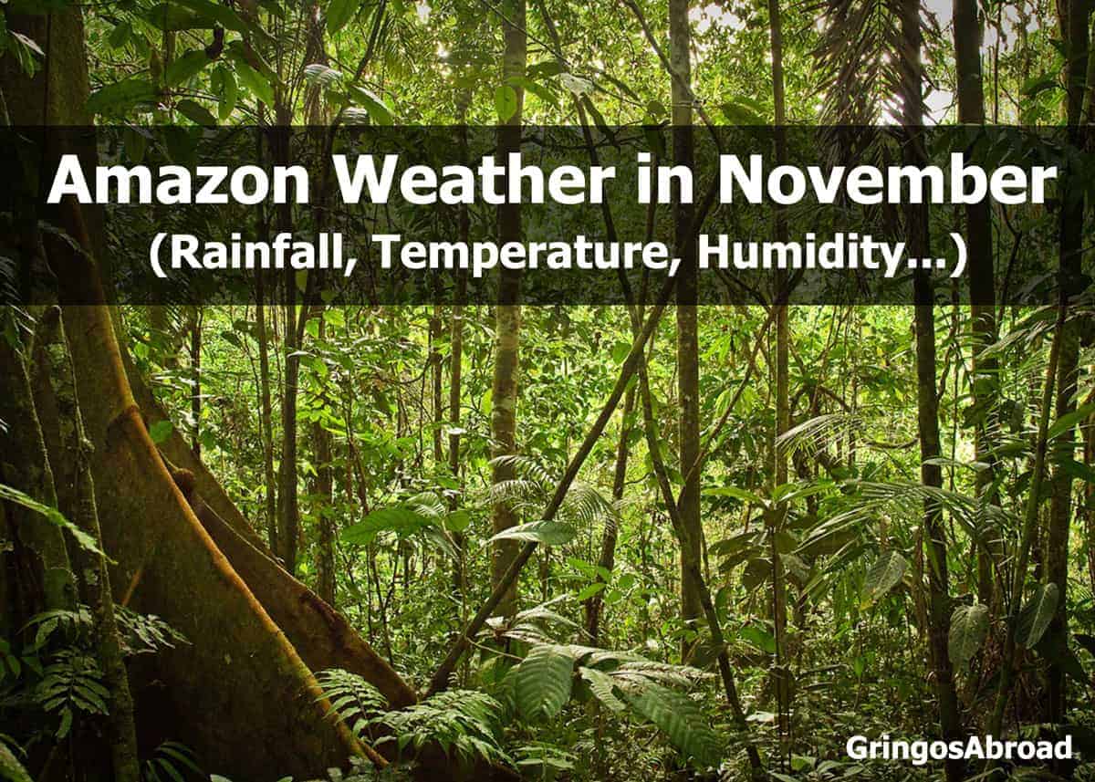
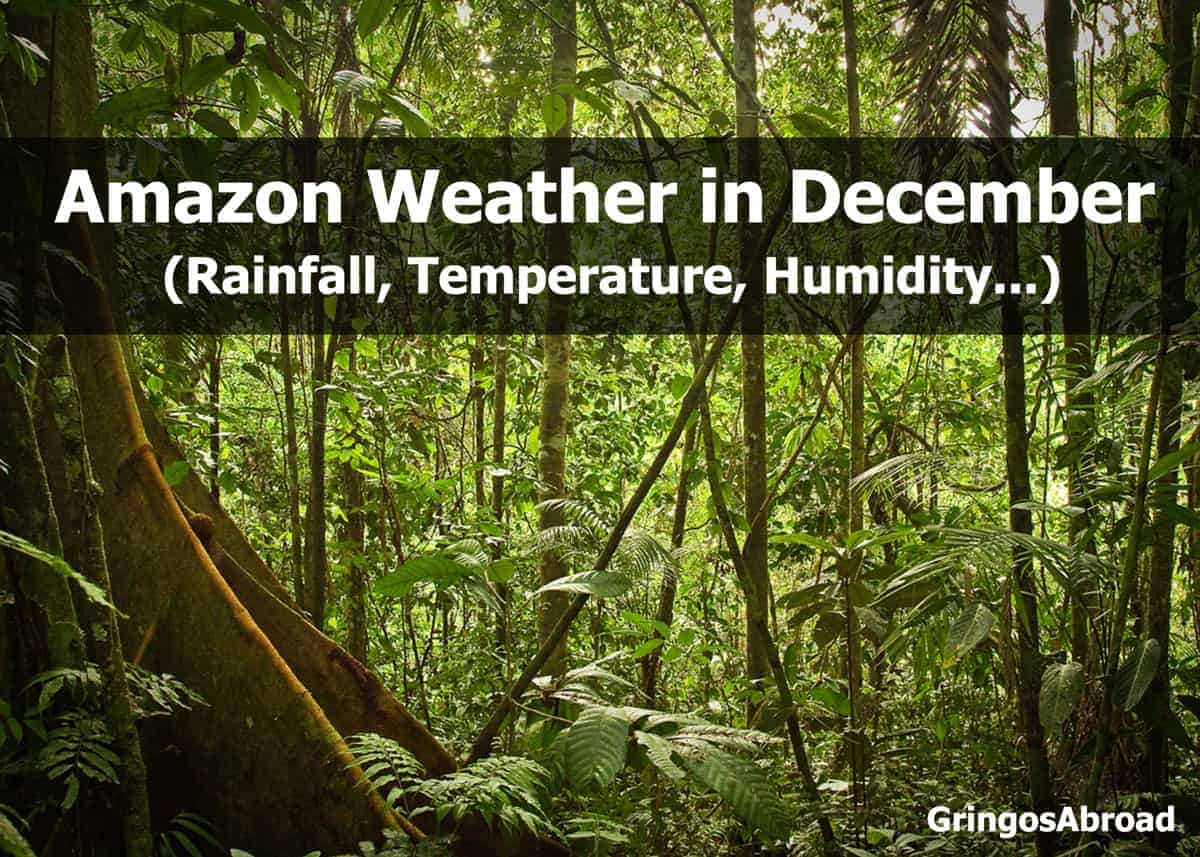
- Amazon (Puyo)
As you plan your trip, you’ll need to know what to pack and what to expect as you explore this beautiful country.
In this post, you’ll learn about the climate across Ecuador: Galapagos Islands, Pacific coast, Andes Mountains, and Amazon jungle. We cover average temperatures (highs and lows) average rainfall, and an average number of days with precipitation.
Following these charts, we have a number of climate charts organized by specific months.
Annual Weather Chart for Ecuador’s 4 Regions
In the following four climate charts for Ecuador, you’ll learn about temperature highs/lows, average rainfall and average days with precipitation in each region. Temperature and rainfall are both listed in imperial and metric (in that order).
Please note: Due to rounding there are some minor discrepancies in between numbers. For more detail, please check each monthly chart (see above).
Galapagos Islands Weather Data (Puerto Ayora)
| Month | High °F / °C | Low °F / °C | Rain in / mm | Rainy Days |
|---|---|---|---|---|
| Jan | 87 / 30 | 70 / 21 | 3 / 82 | 12 |
| Feb | 87 / 31 | 71 / 22 | 4 / 104 | 13 |
| Mar | 87 / 31 | 70 / 21 | 4 / 99 | 13 |
| Apr | 87 / 31 | 70 / 21 | 2 / 61 | 10 |
| May | 87 / 31 | 69 / 21 | 5 / 120 | 9 |
| June | 85 / 29 | 67 / 19 | 2 / 53 | 6 |
| Jul | 80 / 27 | 66 / 19 | 1 / 21 | 7 |
| Aug | 84 / 29 | 65/ 18 | 0.5 / 13 | 7 |
| Sep | 81 / 27 | 66 / 19 | 1 / 20 | 24 |
| Oct | 84 / 29 | 66 / 19 | 1 / 27 | 8 |
| Nov | 85 / 30 | 67 / 19 | 1 / 35 | 7 |
| Dec | 86 / 30 | 69 / 21 | 1 / 22 | 9 |
Planning a trip to the Galapagos? Here are a few posts you might enjoy:
- Travelers Guide to Galapagos Animals
- Best Things to Do in the Galapagos Islands
- What’s the Best Galapagos Airport? (3 Options)
Ecuador’s Coast Weather Data (Guayaquil)
| Month | High °F / °C | Low °F / °C | Rain in / mm | Rainy Days |
|---|---|---|---|---|
| Jan | 88 / 31 | 74 / 23 | 9 / 220 | 17 |
| Feb | 87 / 30 | 75 / 23 | 11 / 270 | 20 |
| Mar | 89 / 31 | 76 / 24 | 11 / 280 | 21 |
| Apr | 89 / 31 | 75 / 23 | 7 / 180 | 16 |
| May | 87 / 30 | 74 / 23 | 2 / 50 | 9 |
| June | 85 / 29 | 72 / 22 | 1 / 10 | 4 |
| Jul | 84 28 | 70 / 21 | 0.1 / 3 | 2 |
| Aug | 84 / 28 | 69 / 21 | – | 1 |
| Sep | 86 / 30 | 70 / 21 | – | 2 |
| Oct | 85 / 29 | 71 / 21 | – | 2 |
| Nov | 86 / 30 | 72 / 22 | – | 3 |
| Dec | 88 / 31 | 73 / 22 | 1 / 30 | 7 |
Here’s our detailed guide to the weather in Guayaquil. Get a glimpse of the beauty of Guayaquil with this set of 34 photos.
Ecuador’s Andes Weather Data (Quito)
| Month | High °F / °C | Low °F / °C | Rain in / mm | Rainy Days |
|---|---|---|---|---|
| Jan | 66 / 18 | 50 / 10 | 4 / 110 | 13 |
| Feb | 66 / 18 | 50 / 10 | 5 / 120 | 13 |
| Mar | 66 / 18 | 50 / 10 | 6 / 150 | 18 |
| Apr | 66 / 18 | 51 / 10 | 7 / 170 | 19 |
| May | 66 / 18 | 51 / 10 | 5 / 120 | 16 |
| June | 67 / 19 | 49 / 9 | 2 / 40 | 11 |
| Jul | 67 / 19 | 49 / 9 | 1 / 20 | 7 |
| Aug | 67 / 19 | 49 / 9 | 1 / 20 | 6 |
| Sep | 68 / 20 | 49 / 9 | 3 / 70 | 11 |
| Oct | 67 / 19 | 49 / 9 | 5 / 120 | 15 |
| Nov | 67 / 19 | 49 / 9 | 4 / 100 | 16 |
| Dec | 66 / 18 | 50 / 10 | 4 / 100 | 15 |
Quito is home to one of Ecuador’s two international airports (the other is Guayaquil).
Interested in Cuenca? Here is our full guide to Cuenca, Ecuador.
We also created this guide to Cuenca weather. While it is similar to Quito, there are some differences thanks to its lower elevation and distance from the equator.
Baños is another Andean city with a distinct climate. Here’s what to expect for Baños weather.

Ecuador’s Amazon Weather Data (Puyo)
| Month | High °F / °C | Low °F / °C | Rain in / mm | Rainy Days |
|---|---|---|---|---|
| Jan | 70 / 21 | 59 / 15 | 12 / 301 | 31 |
| Feb | 70 / 21 | 59 / 15 | 12 / 298 | 28 |
| Mar | 70 / 21 | 59 / 15 | 17 / 429 | 31 |
| Apr | 72 / 22 | 59 / 15 | 18 / 465 | 30 |
| May | 70 / 21 | 60 / 15 | 16 / 480 | 31 |
| June | 68 / 20 | 58 / 15 | 10 / 268 | 30 |
| Jul | 71 / 21 | 58 / 15 | 11 / 389 | 31 |
| Aug | 72 / 22 | 59 / 15 | 14 / 346 | 30 |
| Sep | 72 / 22 | 59 / 15 | 11 / 273 | 30 |
| Oct | 72 / 22 | 61 / 16 | 13 / 330 | 30 |
| Nov | 72 / 22 | 61 / 16 | 14 / 370 | 29 |
| Dec | 70 / 21 | 59 / 15 | 15 / 334 | 31 |
Learn more about the wildlife you can see in our Guide to Amazon Rainforest Animals. Here are 8 things you should know before visiting the Amazon Rainforest.
And there you have it, our detailed Ecuador climate charts for all 4 major regions.
Ecuador Weather by Month
Looking for a specific month? We’ve created guides to specific regions in Ecuador by month.
Each month covers the 4 major regions of the country and gives elevation, daylight hours, average high/low temperature, average precipitation, days with precipitation, and average relative humidity.
While some small countries have just one climatic zone, Ecuador is megadiverse. There are 4 major regions and even more microclimates.
To help you plan your trip, we’ll cover the four major regions in each month section:
- Galapagos Islands (Town of Puerto Ayora, Santa Cruz Island)
- Coast (City of Guayaquil)
- Andes (City of Quito)
- Amazon (City of Puyo)
Unit of measure: Statistics are listed first in Imperial (°F, feet, inches) and second in Metric (°C, meters, millimeters).
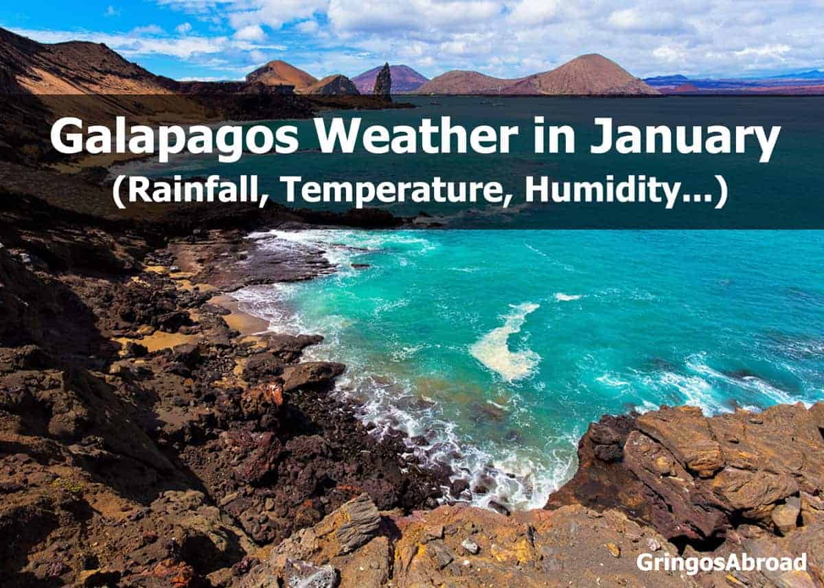
Galapagos Weather in January
The following statistics are based on the town of Puerto Ayora, located on the southern coast of Santa Cruz Island. This is one of the most popular towns in the Galapagos. From here, you can catch a boat to Floreana or Isabela Islands.
Weather patterns and temperatures don’t vary much from one island to the next.
- Elevation: 49 feet / 15 meters
- Hours of Daylight: 12.5 hours
Galapagos Temperatures in January
- Average High: 87°F / 30.6°C
- Average Low: 70°F / 21.1°C
Rain in Galapagos in January
- Average precipitation: 3.2 in. / 82 mm
- Average days with precipitation: 12
- Average relative humidity: 78%
One of our favorite places to visit on Santa Cruz Island is Tortuga Bay. Check out our photos and travel guide.
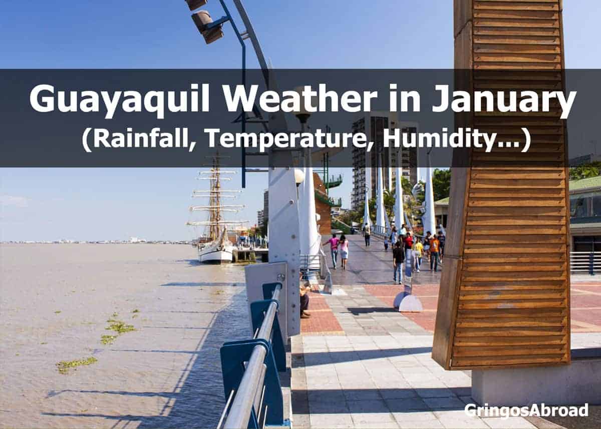
Weather on Ecuador’s Pacific Coast in January (Guayaquil)
- Elevation: 30 feet / 9 meters
- Hours of Daylight: 12.6 hours
Guayaquil Temperatures in January
- Average High: 88°F / 31°C
- Average Low: 74°F / 23°C
Rain in Guayaquil in January
- Average precipitation: 8.8 in. / 220 mm
- Average days with precipitation: 17
- Average relative humidity: 75%
Guayaquil is home to one of two international airports in Ecuador and is a popular departure point for travel to the Galapagos Islands. The other international airport is located in Quito – high in Ecuador’s mountains.
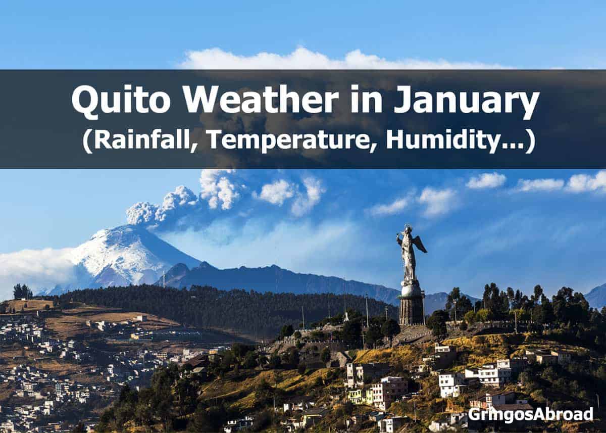
Weather in Ecuador’s Andes in January: Quito
- Elevation: 9223 feet / 2811 meters
- Hours of Daylight: 12.5 hours
Quito Temperatures in January
- Average High: 66°F / 18°C
- Average Low: 50°F / 10°C
Rain in Quito in January
- Average precipitation: 4.5 in. / 110 mm
- Average number of days with precipitation: 13
- Average Relative Humidity: 80%
Cuenca is located at a slightly lower altitude than Quito and has similar weather patterns. The best way to see Cuenca is on foot. Here’s a half-day walking tour of Cuenca that you can take your kids on.
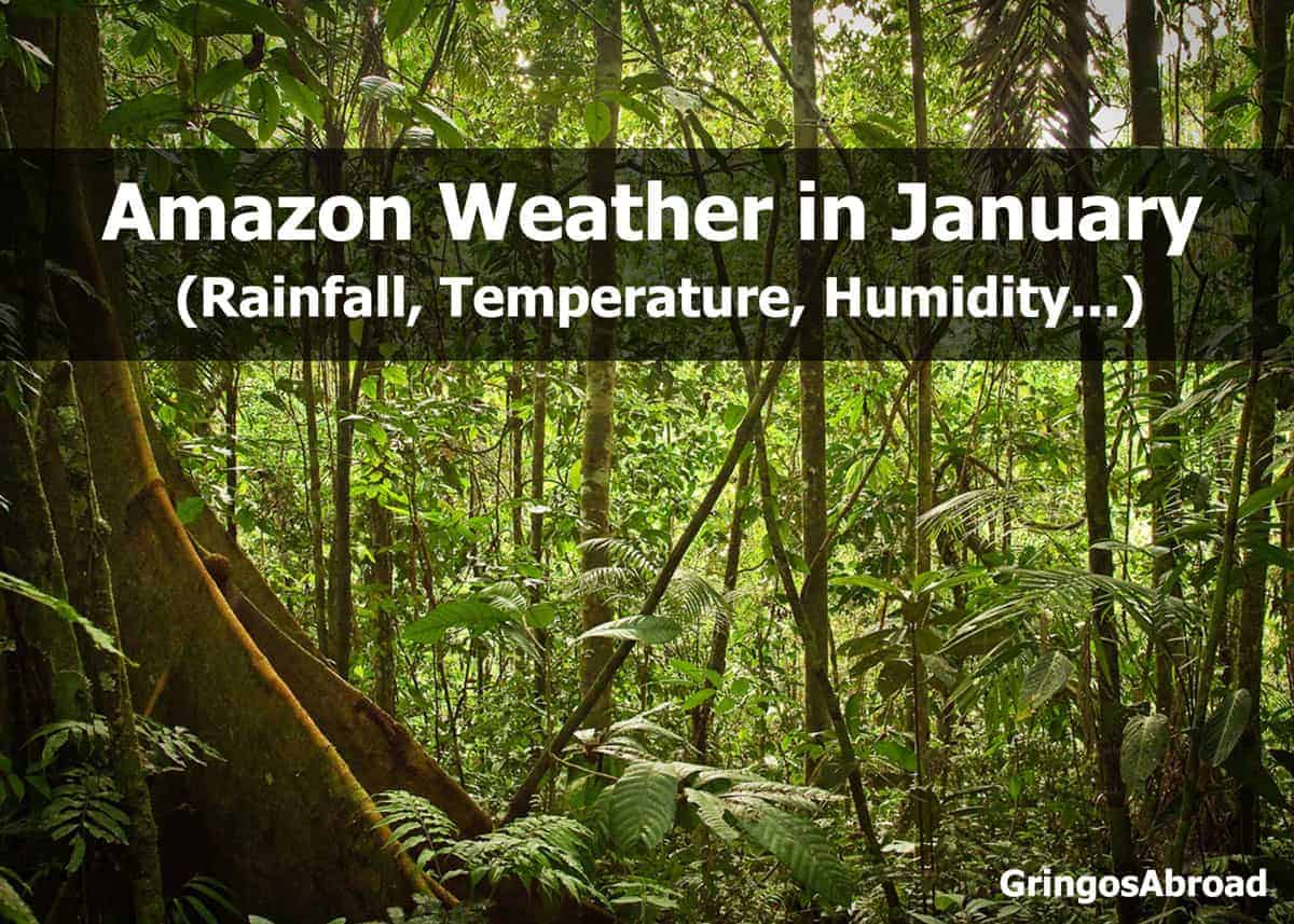
Weather in Ecuador’s Amazon in January (Puyo)
- Elevation: 3117 feet / 950 meters
- Hours of Daylight: 12.6 hours
Amazon Temperatures in January
- Average High: 70°F / 21°C
- Average Low: 59°F / 15°C
Rain in the Amazon in January
- Average precipitation: 11.9 in. / 301 mm
- Average days with precipitation: 31
- Average relative humidity: 89%
Learn more about Ecuador’s Amazon rainforest.
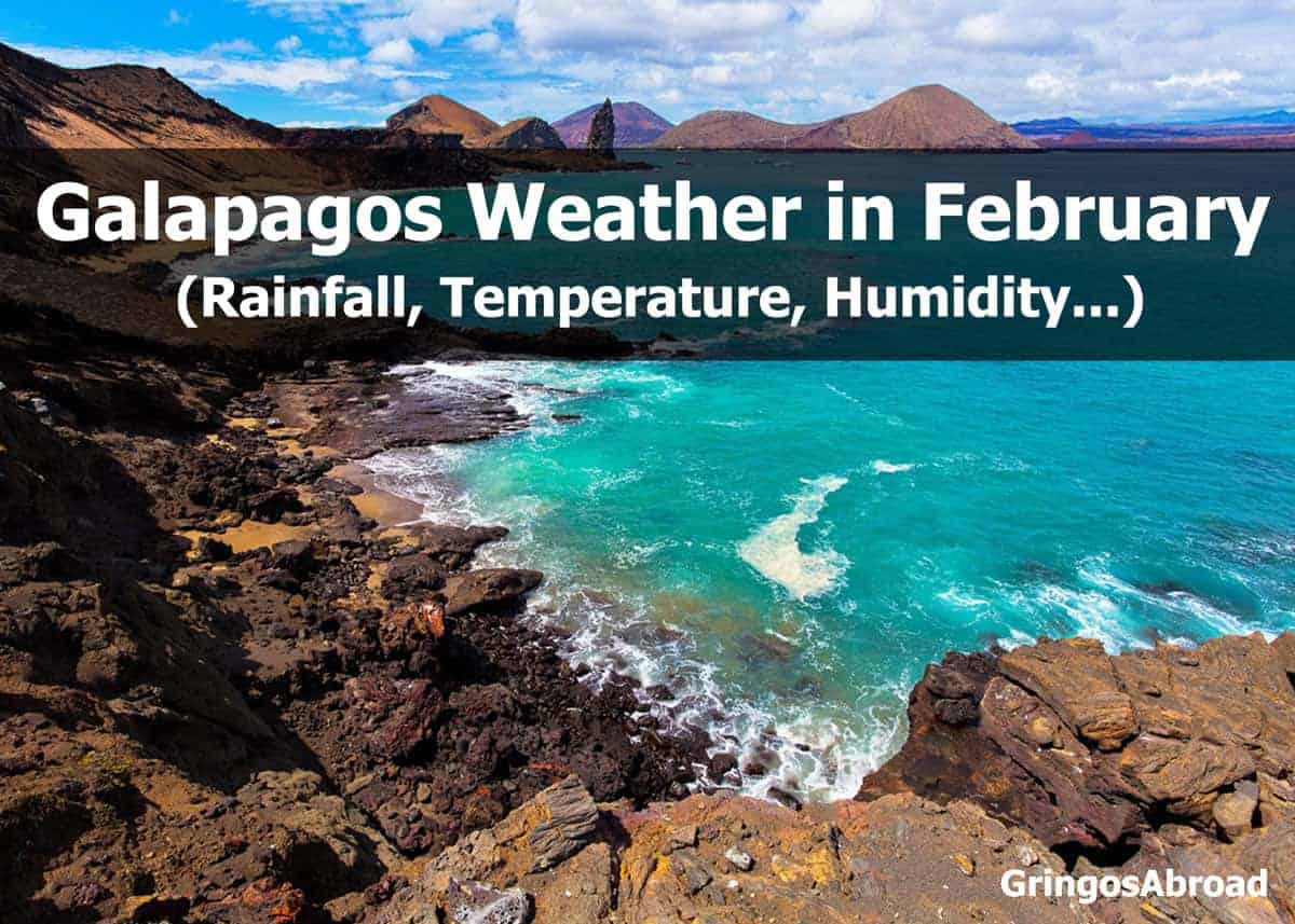
Galapagos Weather in February (Puerto Ayora)
The following statistics are based on the town of Puerto Ayora, located on the southern coast of Santa Cruz Island. Weather patterns and temperatures don’t vary much from one island to the next.
- Elevation: 49 feet / 15 meters
- Hours of Daylight: 12.5 hours
Galapagos Temperatures in February
- Average High: 87°F / 30.6°C
- Average Low: 71°F / 21.7°C
Rain in Galapagos in February
- Average precipitation: 4.1 in. / 104 mm
- Average days with precipitation: 13
- Average relative humidity: 75%
Keep your bag under the airline limit (and save your back) with our favorite luggage scales for international travelers. In the Galapagos, lighter is always better – as you have to carry your bags more than other destinations.
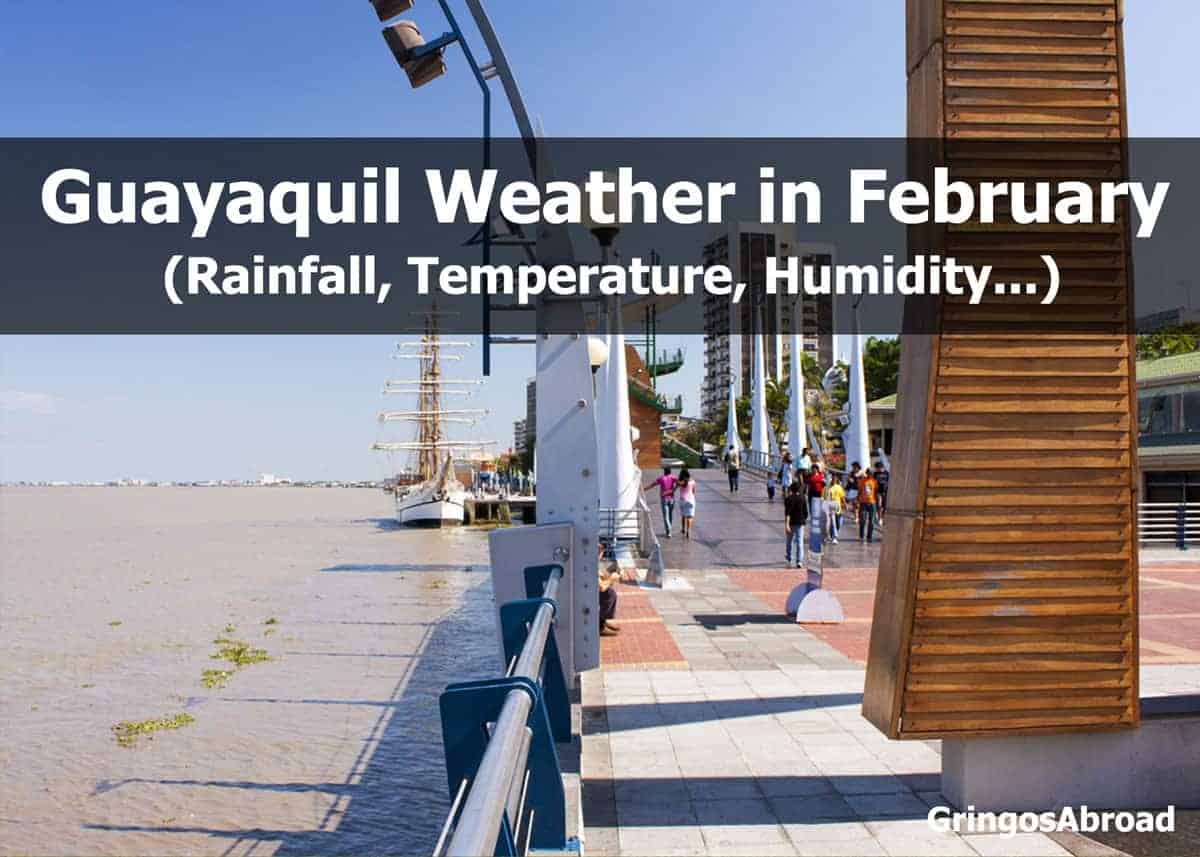
 Weather on Ecuador’s Pacific Coast in February (Guayaquil)
- Elevation: 30 feet / 9 meters
- Hours of Daylight: 12.5 hours
Guayaquil Temperatures in February
- Average High: 87°F / 30°C
- Average Low: 75°F / 23°C
Rain in Guayaquil in February
- Average precipitation: 11 in. / 270 mm
- Average days with precipitation: 20
- Average relative humidity: 80%
Guayaquil is home to one of two international airports in Ecuador and is a popular departure point for travel to the Galapagos Islands. The other international airport is located in Quito – high in Ecuador’s mountains.
More reading: Guide to Ecuador Souvenirs
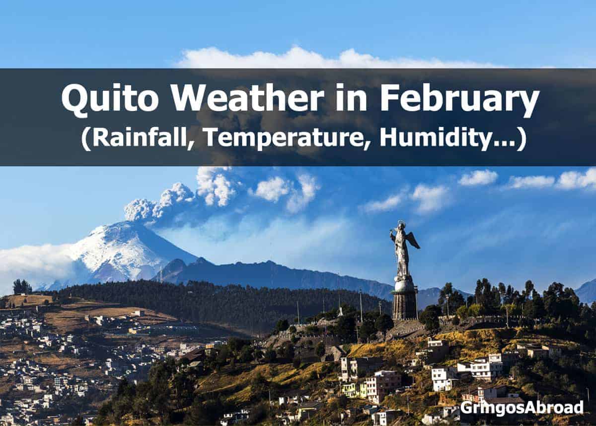
Weather in Ecuador’s Andes in February: Quito
- Elevation: 9223 feet / 2811 meters
- Hours of Daylight: 12.5 hours
Quito Temperatures in February
- Average High: 66°F / 18°C
- Average Low: 50°F / 10°C
Rain in Quito in February
- Average precipitation: 5.1 in. / 120 mm
- Average number of days with precipitation: 13
- Average Relative Humidity: 80%
Cuenca is located at a slightly lower altitude than Quito and has similar weather. Because of its location high in the Andes, the weather in Quito and Cuenca can change quickly.
We recommend bringing an umbrella whenever you leave the hotel (or your house). It can protect from rain and the strong sun. Here are some of our favorite travel umbrellas.
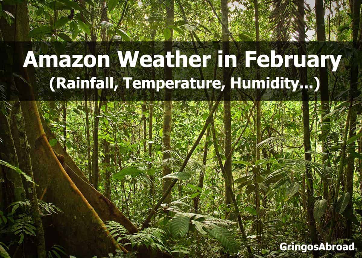
 Weather in Ecuador’s Amazon in February (Puyo)
- Elevation: 3117 feet / 950 meters
- Hours of Daylight: 12.5 hours
Amazon Temperatures in February
- Average High: 70°F / 21°C
- Average Low: 59°F / 15°C
Rain in the Amazon in February
- Average precipitation: 11.7 in. / 298 mm
- Average days with precipitation: 28
- Average relative humidity: 88%
Meet the payara – the vampire fish of the Amazon rainforest.
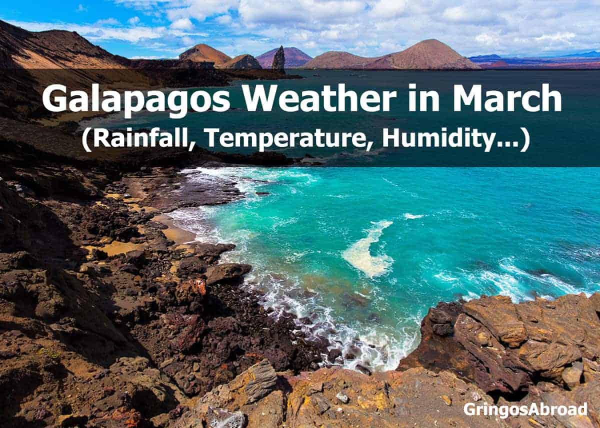
Galapagos Weather in March (Puerto Ayora)
The following statistics are based on the town of Puerto Ayora, located on the southern coast of Santa Cruz Island. Weather patterns and temperatures don’t vary much from one island to the next.
- Elevation: 49 feet / 15 meters
- Hours of Daylight: 12.5 hours
Galapagos Temperatures in March
- Average High: 87°F / 30.6°C
- Average Low: 70°F / 21.1°C
Rain in Galapagos in March
- Average precipitation: 3.9 in. / 99 mm
- Average days with precipitation: 13
- Average relative humidity: 77%
Want to capture your Galapagos adventure? Here’s how to choose the best camera for travel. We include all the factors to consider, plus our recommendations for the best gear.
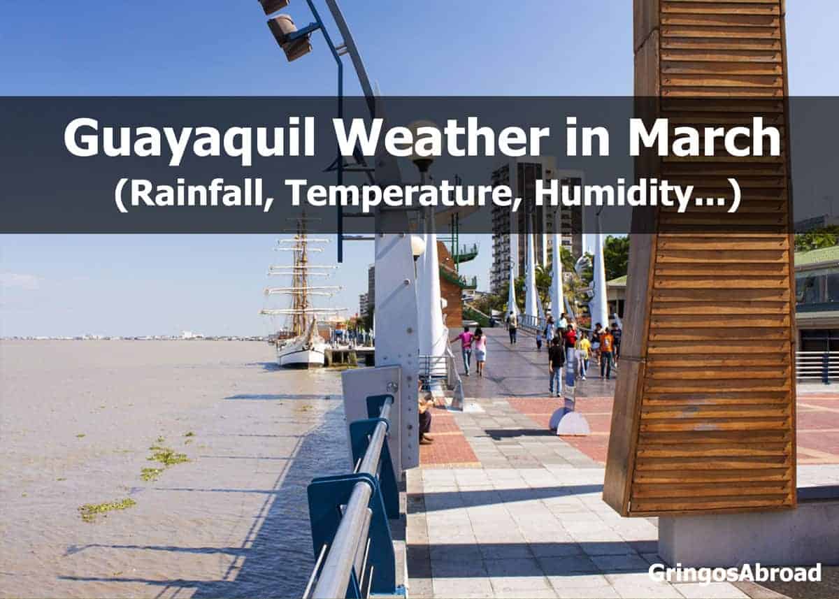
 Weather on Ecuador’s Pacific Coast in March (Guayaquil)
- Elevation: 30 feet / 9 meters
- Hours of Daylight: 12.5 hours
Guayaquil Temperatures in March
- Average High: 89°F / 31°C
- Average Low: 76°F / 24°C
Rain in Guayaquil in March
- Average precipitation: 11.3 in. / 280 mm
- Average days with precipitation: 21
- Average relative humidity: 80%
Guayaquil is home to one of two international airports in Ecuador and is a popular departure point for travel to the Galapagos Islands. The other international airport is located in Quito – high in Ecuador’s mountains.
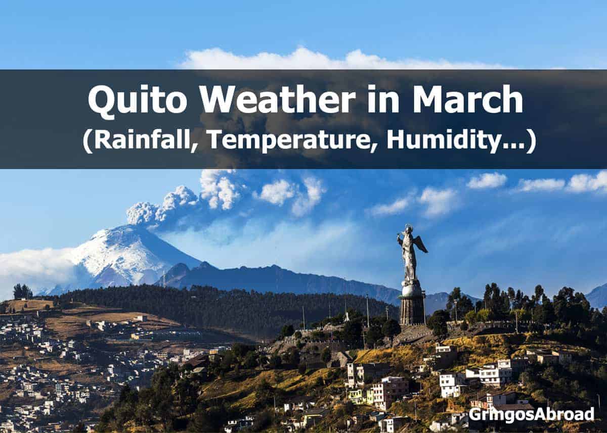
Weather in Ecuador’s Andes in March: Quito
- Elevation: 9223 feet / 2811 meters
- Hours of Daylight: 12.5 hours
Quito Temperatures in March
- Average High: 66°F / 18°C
- Average Low: 50°F / 10°C
Rain in Quito in March
- Average precipitation: 6 in. / 150 mm
- Average number of days with precipitation: 18
- Average Relative Humidity: 80%
Cuenca is located at a slightly lower altitude than Quito and has similar weather. Learn more about Quito in this set of 17 Facts about Quito.
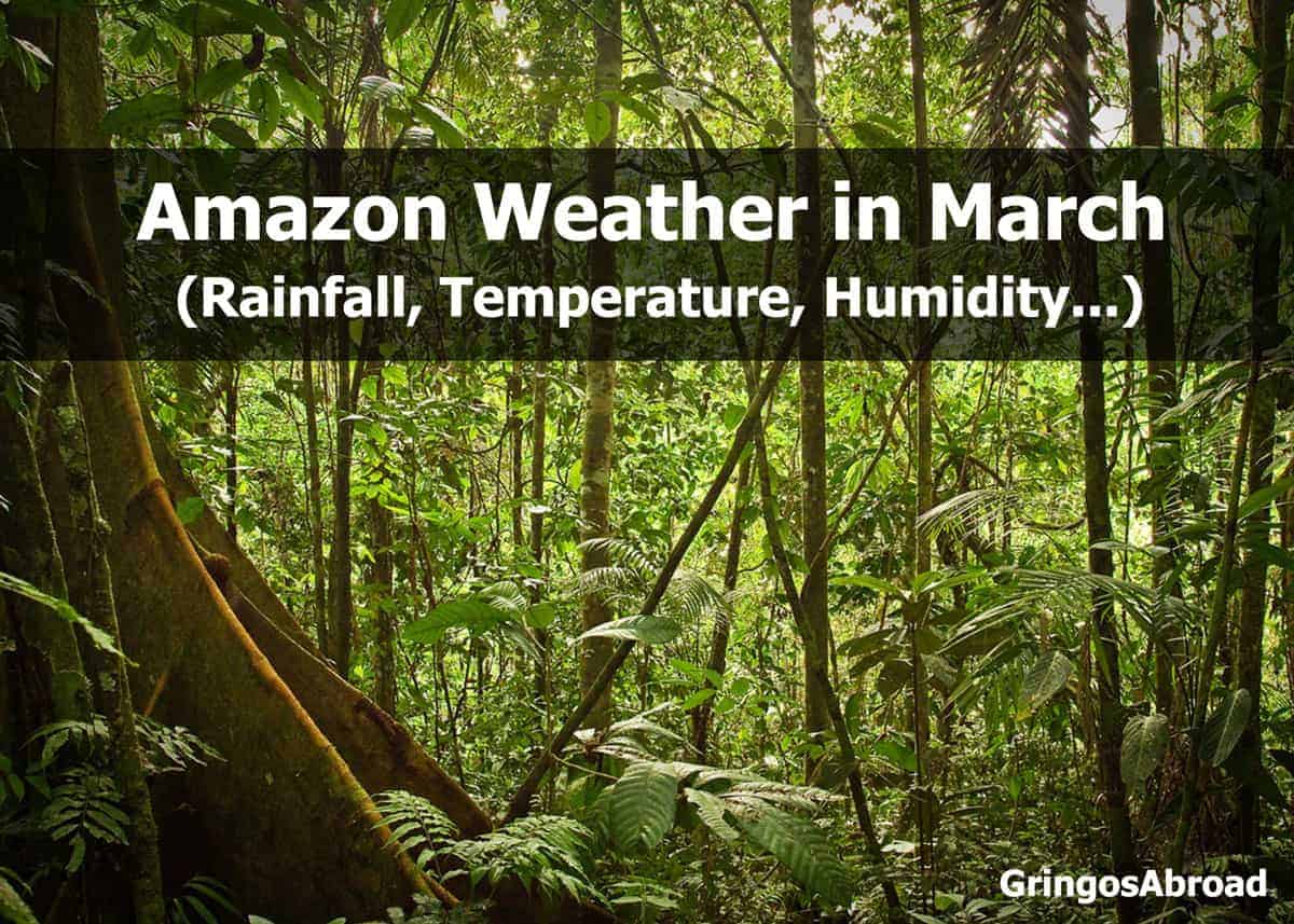
Weather in Ecuador’s Amazon in March (Puyo)
- Elevation: 3117 feet / 950 meters
- Hours of Daylight: 12.5 hours
Amazon Temperatures in March
- Average High: 70°F / 21°C
- Average Low: 59°F / 15°C
Rain in the Amazon in March
- Average precipitation: 16.9 in. / 429 mm
- Average days with precipitation: 31
- Average relative humidity: 90%
Like to try new food? Check out this Guide to Ecuadorian Foods.
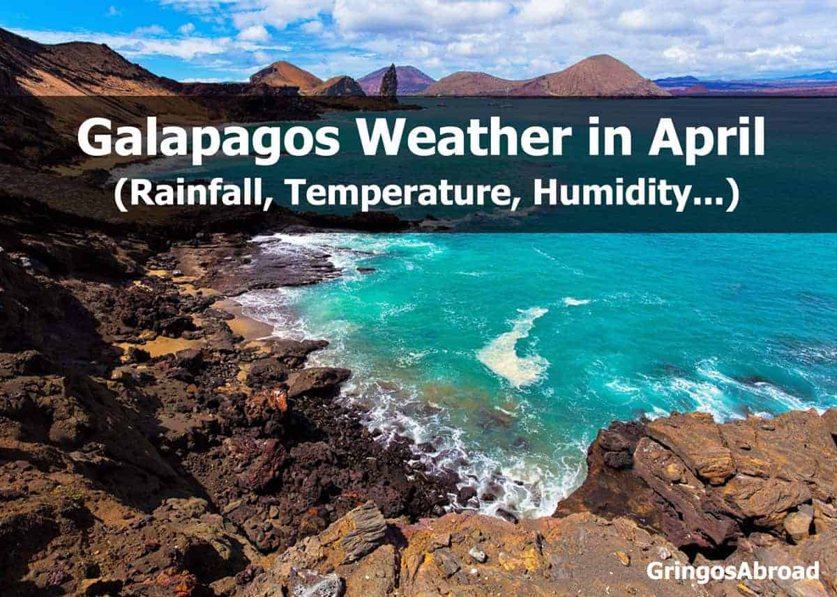
Galapagos Weather in April (Puerto Ayora)
The following statistics are based on the town of Puerto Ayora, located on the southern coast of Santa Cruz Island. Weather patterns and temperatures don’t vary much from one island to the next.
- Elevation: 49 feet / 15 meters
- Hours of Daylight: 12.4 hours
Galapagos Temperatures in April
- Average High: 87°F / 30.6°C
- Average Low: 70°F / 21.1°C
Rain in Galapagos in April
- Average precipitation: 2.4 in. / 61 mm
- Average days with precipitation: 10
- Average relative humidity: 79%
Here are six reasons to visit Floreana Island in the Galapagos.
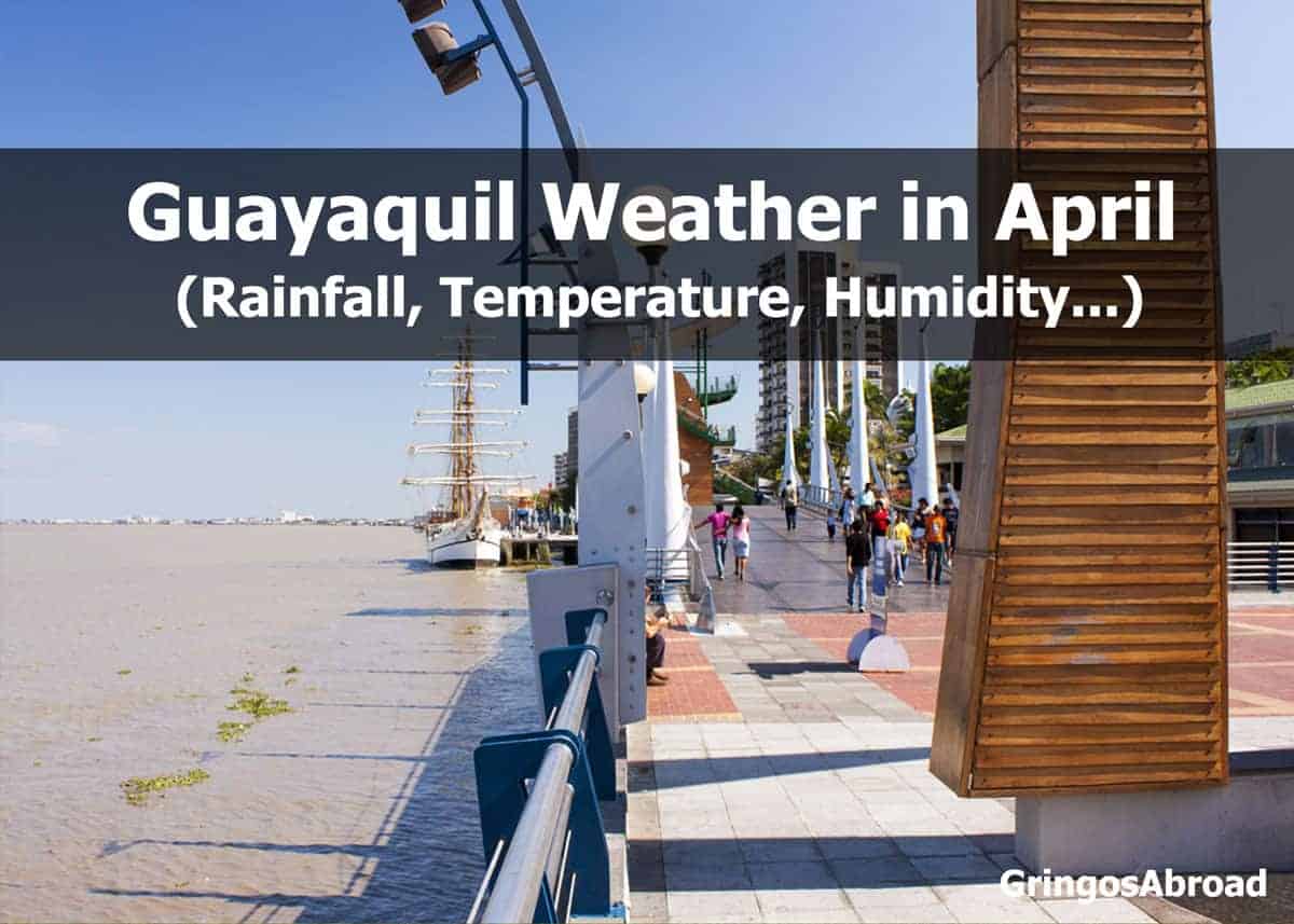
Weather on Ecuador’s Pacific Coast in April (Guayaquil)
- Elevation: 30 feet / 9 meters
- Hours of Daylight: 12.4 hours
Guayaquil Temperatures in April
- Average High: 89°F / 31°C
- Average Low: 75°F / 23°C
Rain in Guayaquil in April
- Average precipitation: 7.1 in. / 180 mm
- Average days with precipitation: 16
- Average relative humidity: 75%
Guayaquil is home to one of two international airports in Ecuador and is a popular departure point for travel to the Galapagos Islands. The other international airport is located in Quito – high in Ecuador’s mountains.
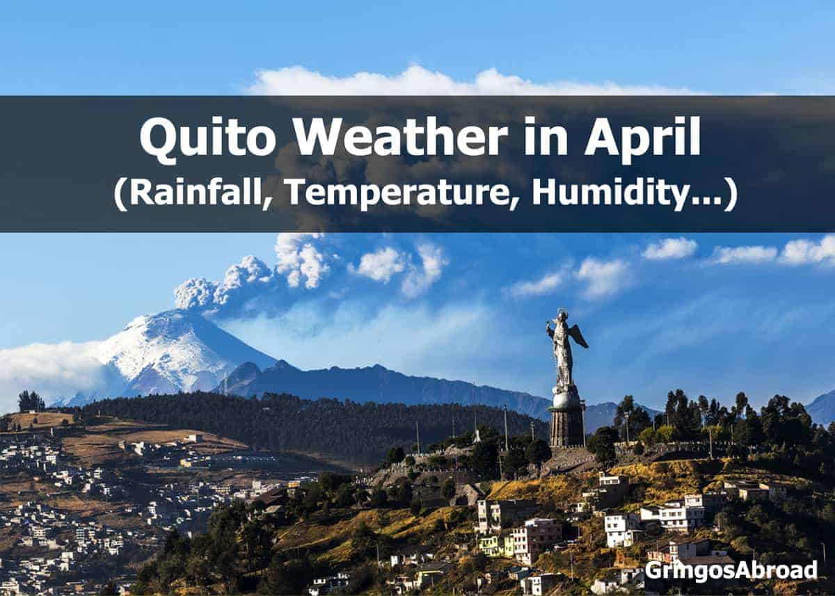
Weather in Ecuador’s Andes in April: Quito
- Elevation: 9223 feet / 2811 meters
- Hours of Daylight: 12.5 hours
Quito Temperatures in April
- Average High: 66°F / 18°C
- Average Low: 51°F / 10°C
Rain in Quito in April
- Average precipitation: 6.9 in. / 170 mm
- Average number of days with precipitation: 19
- Average Relative Humidity: 80%
Cuenca is located at a slightly lower altitude than Quito and has similar weather. Take a tour of Cuenca on a double-decker bus with this time-lapse video.
Before you book your flight to Ecuador, check this post to get the same flight for cheaper.
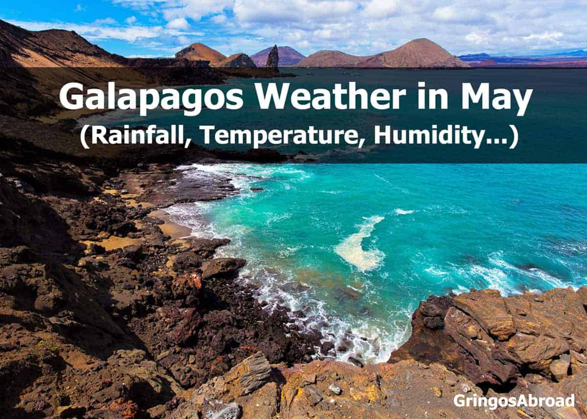
 Galapagos Weather in May (Puerto Ayora)
The following statistics are based on the town of Puerto Ayora, located on the southern coast of Santa Cruz Island. Weather patterns and temperatures don’t vary much from one island to the next.
- Elevation: 49 feet / 15 meters
- Hours of Daylight: 12.4 hours
Galapagos Temperatures in May
- Average High: 87°F / 31°C
- Average Low: 69°F / 21°C
Rain in Galapagos in May
- Average precipitation: 4.7 in. / 120 mm
- Average days with precipitation: 9
- Average relative humidity: 78%
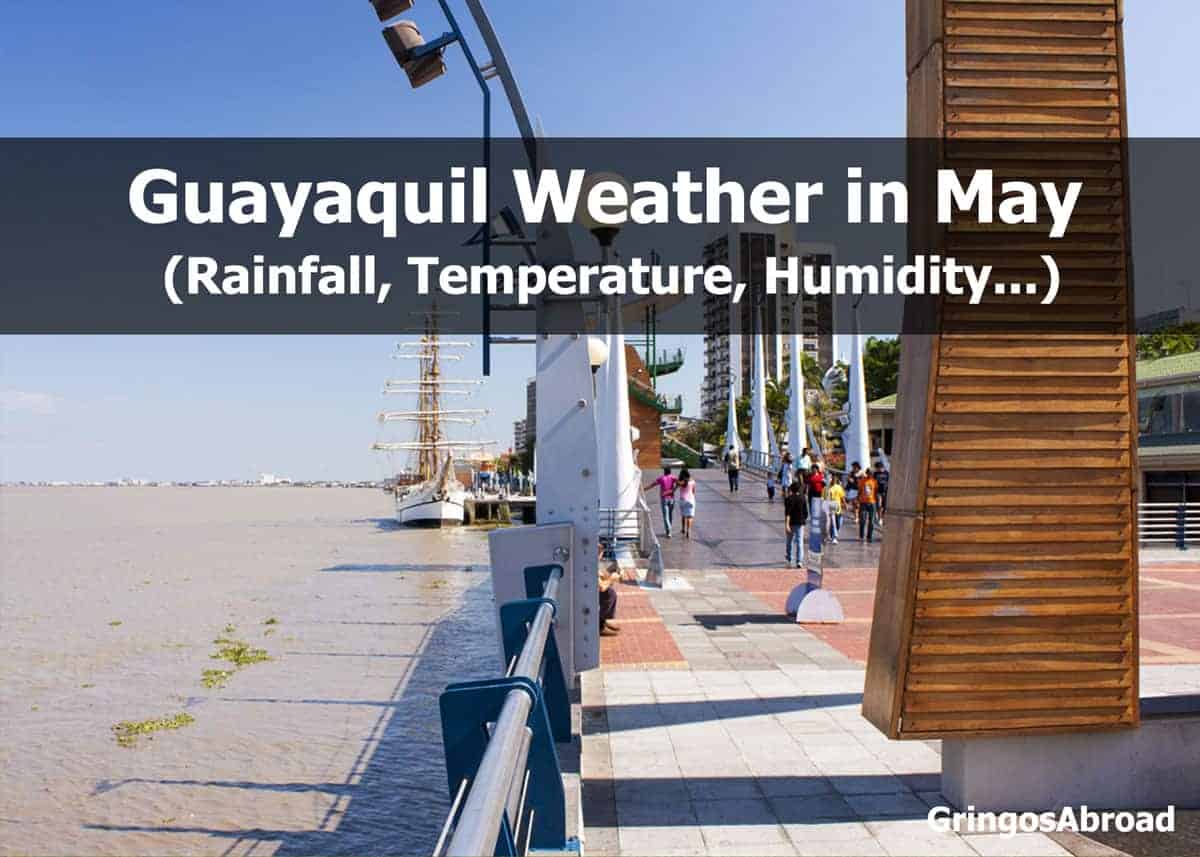
 Weather on Ecuador’s Pacific Coast in May (Guayaquil)
- Elevation: 30 feet / 9 meters
- Hours of Daylight: 12.4 hours
Guayaquil Temperatures in May
- Average High: 87°F / 30°C
- Average Low: 74°F / 23°C
Rain in Guayaquil in May
- Average precipitation: 2.1 in. / 50 mm
- Average days with precipitation: 9
- Average relative humidity: 75%
Guayaquil is one of two international airports in Ecuador and is a popular departure point for travel to the Galapagos Islands.
Learn more about Ecuador’s 11 National Parks (and 25 Reserves and Wildlife Refuges)
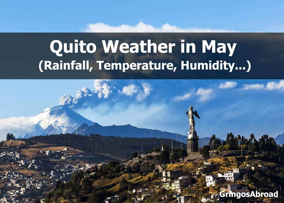
 Weather in Ecuador’s Andes in May: Quito
- Elevation: 9223 feet / 2811 meters
- Hours of Daylight: 12.5 hours
Quito Temperatures in May
- Average High: 66°F / 18°C
- Average Low: 51°F / 10°C
Rain in Quito in May
- Average precipitation: 4.9 in. / 120 mm
- Average number of days with precipitation: 16
- Average Relative Humidity: 80%
Quito is a top tourist destination in Ecuador. In this post, you’ll learn about the 6 Best Things to do in Quito.
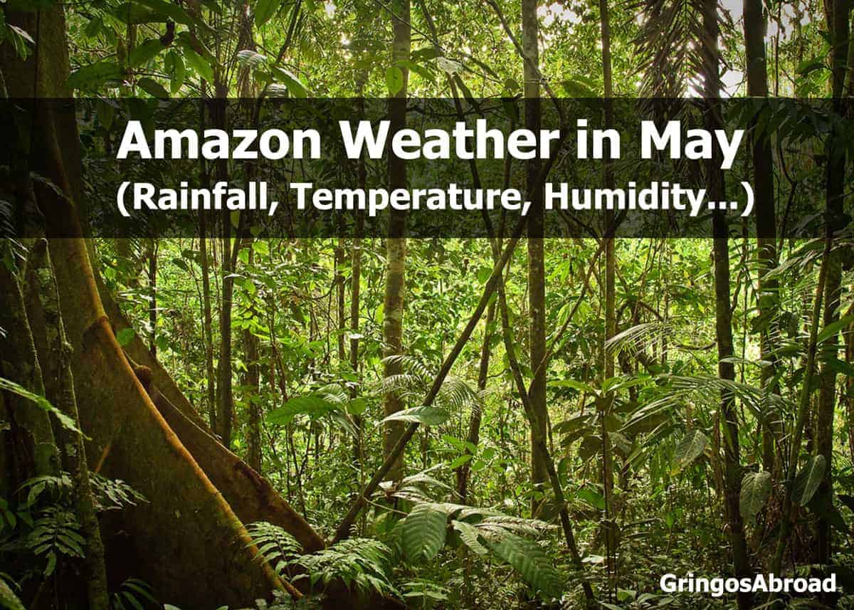
 Weather in Ecuador’s Amazon in May (Puyo)
- Elevation: 3117 feet / 950 meters
- Hours of Daylight: 12.4 hours
Amazon Temperatures in May
- Average High: 70°F / 21°C
- Average Low: 60°F / 15°C
Rain in the Amazon in May
- Average precipitation: 16.1 in. / 480 mm
- Average days with precipitation: 31
- Average relative humidity: 86%
Will you visit Podocarpus National Park? Here are 7 reasons to put it on your itinerary.
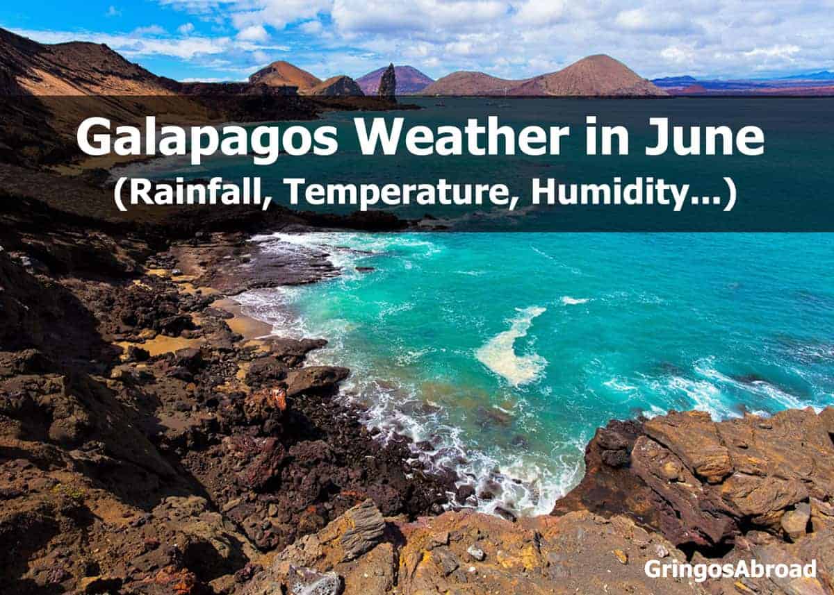
 Galapagos Weather in June (Puerto Ayora)
The following statistics are based on the town of Puerto Ayora, located on the southern coast of Santa Cruz Island. Weather patterns and temperatures don’t vary much from one island to the next.
- Elevation: 49 feet / 15 meters
- Hours of Daylight: 12.4 hours
Galapagos Temperatures in June
- Average High: 85°F / 29°C
- Average Low: 67°F / 19°C
Rain in Galapagos in June
- Average precipitation: 2.1 in. / 53 mm
- Average days with precipitation: 6
- Average relative humidity: 80%
Curious about what to bring on your Galapagos trip? Don’t forget a sun hat. The sun is strong and can burn exposed skin quickly. Here’s our guide to the best sun protection hats.
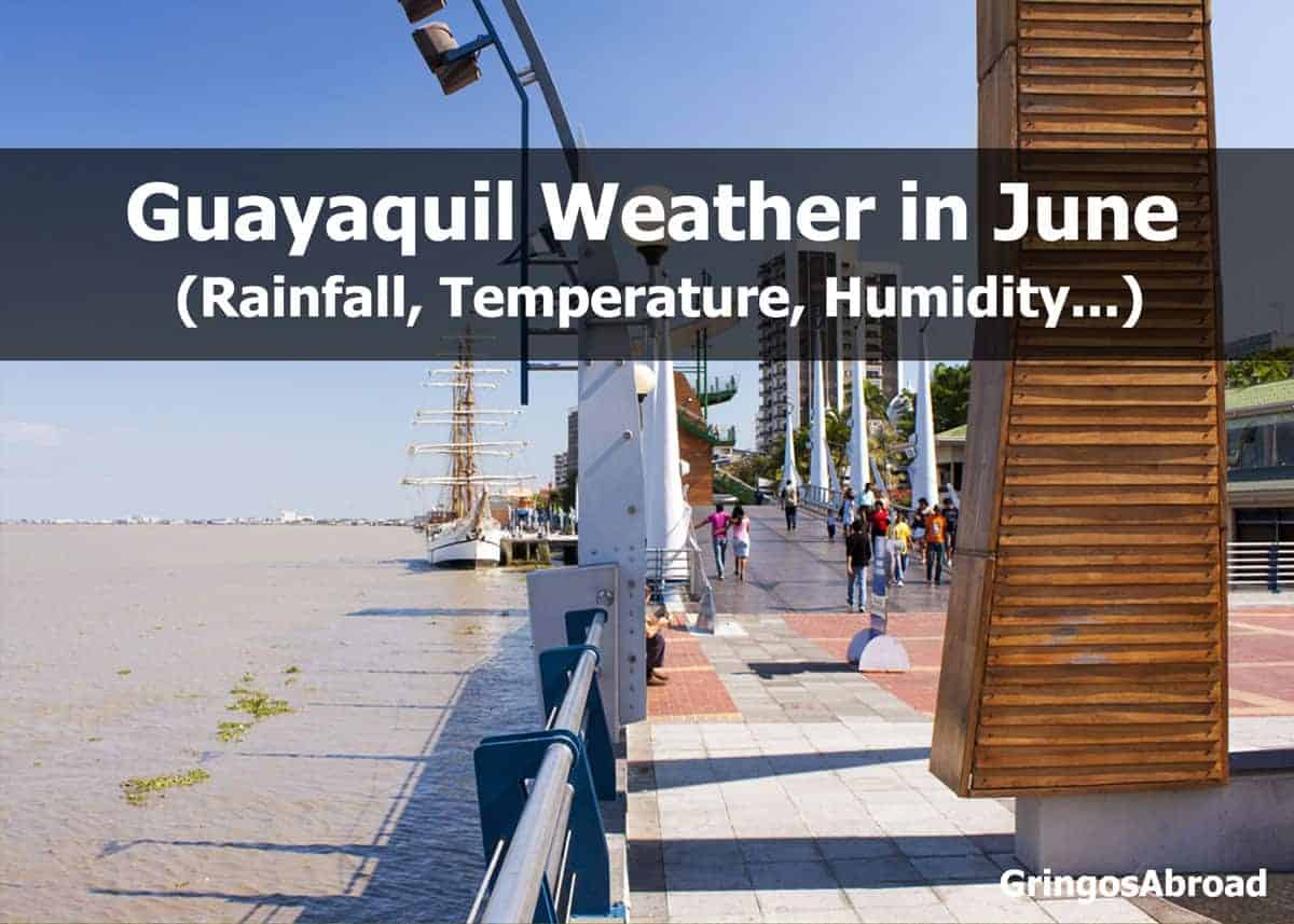
 Weather on Ecuador’s Pacific Coast in June (Guayaquil)
- Elevation: 30 feet / 9 meters
- Hours of Daylight: 12.4 hours
Guayaquil Temperatures in June
- Average High: 85°F / 29°C
- Average Low: 72°F / 22°C
Rain in Guayaquil in June
- Average precipitation: 0.7 in. / 10 mm
- Average days with precipitation: 4
- Average relative humidity: 75%
Love beaches? Ecuador is filled with amazing beaches all along its Pacific coast. Check out our Ultimate Guide to 22 Ecuador Beaches and Beach Towns.
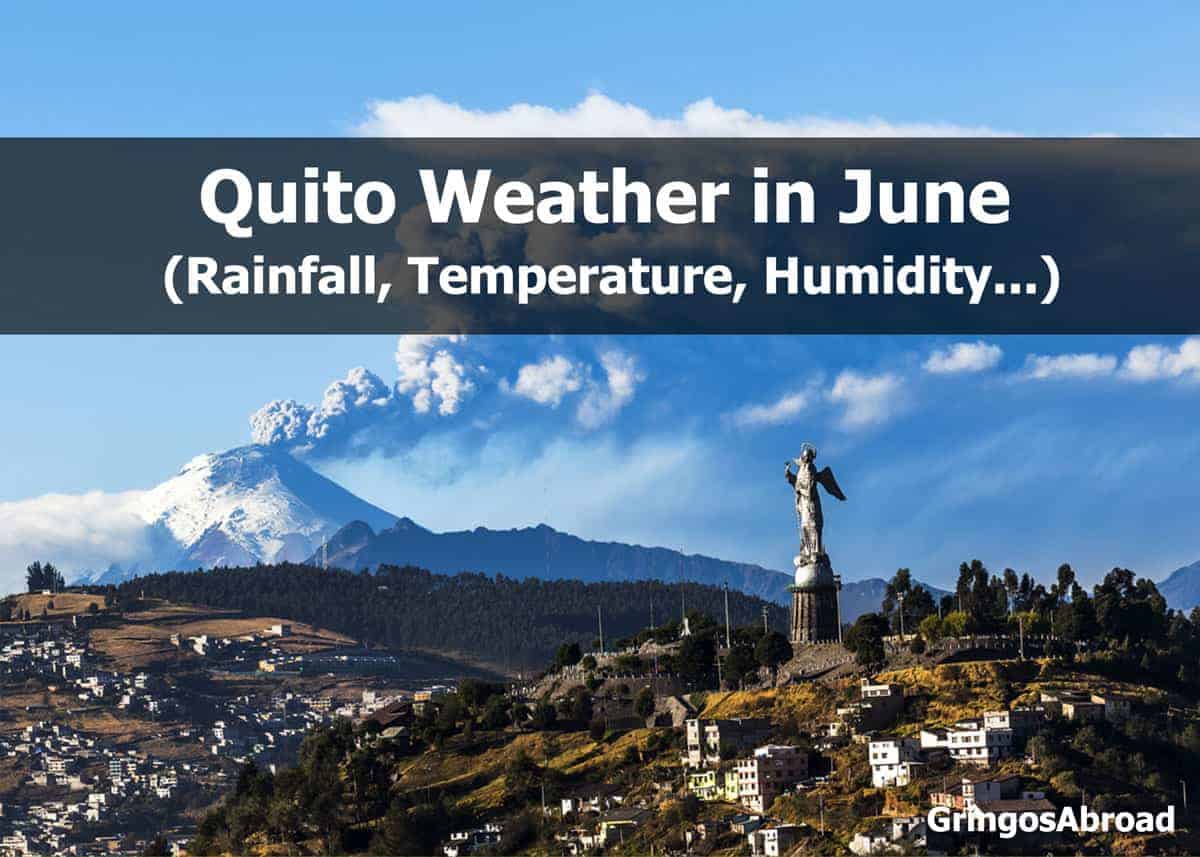
 Weather in Ecuador’s Andes in June: Quito
- Elevation: 9223 feet / 2811 meters
- Hours of Daylight: 12.5 hours
Quito Temperatures in June
- Average High: 67°F / 19°C
- Average Low: 49°F / 9°C
Rain in Quito in June
- Average precipitation: 1.9 in. / 40 mm
- Average number of days with precipitation: 11
- Average Relative Humidity: 70%
See Quito from above on the Teleferiqo gondola lift. Read all about it in our Teleferiqo Travel Guide.
Cuenca is located at a slightly lower altitude than Quito and has similar weather. There are many smaller towns just a short drive from Cuenca. Learn more about Azogues, Gualaceo, and Paute.
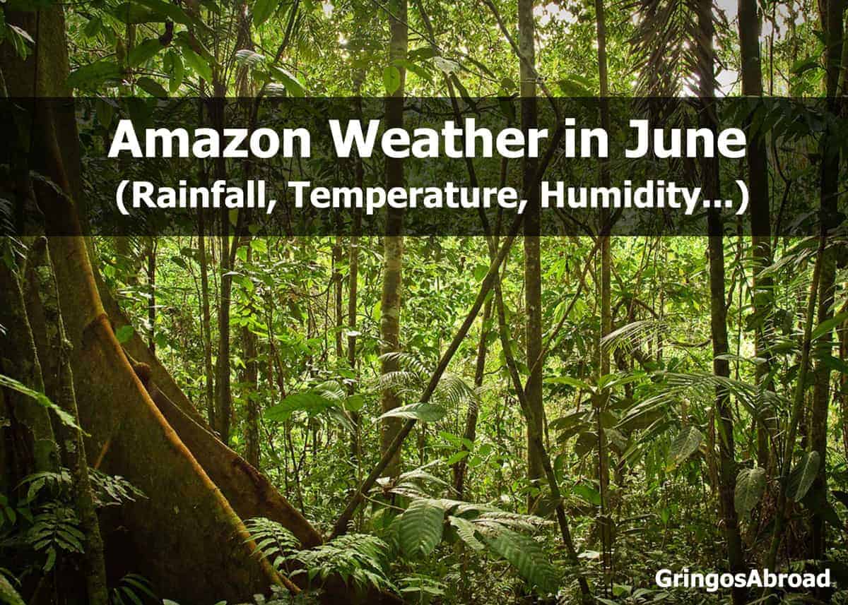
 Weather in Ecuador’s Amazon in June (Puyo)
- Elevation: 3117 feet / 950 meters
- Hours of Daylight: 12.4 hours
Amazon Temperatures in June
- Average High: 68°F / 20°C
- Average Low: 58°F / 15°C
Rain in the Amazon in June
- Average precipitation: 10.5 in. / 268 mm
- Average days with precipitation: 30
- Average relative humidity: 82%
Have a sweet tooth? Check out our guide to Ecuador desserts.
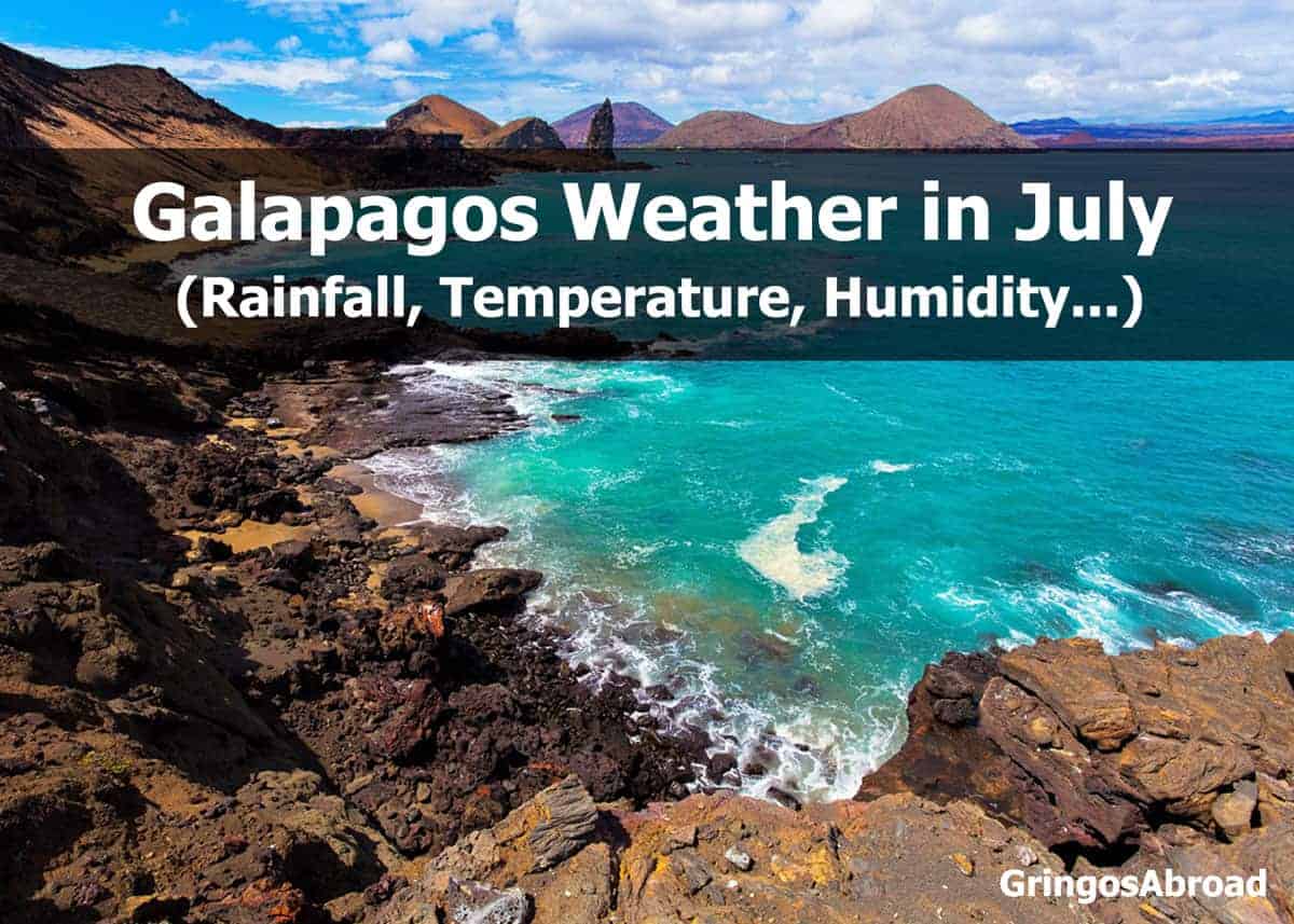
 Galapagos Weather in July (Puerto Ayora)
The following statistics are based on the town of Puerto Ayora, located on the southern coast of Santa Cruz Island. Weather patterns and temperatures don’t vary much from one island to the next.
- Elevation: 49 feet / 15 meters
- Hours of Daylight: 12.4 hours
Galapagos Temperatures in July
- Average High: 80°F / 27°C
- Average Low: 66°F / 19°C
Rain in Galapagos in July
- Average precipitation: 0.8 in. / 21 mm
- Average days with precipitation: 7
- Average relative humidity: 81%
Make sure you can see all the wildlife by bringing a decent pair of binoculars. Here are our top picks for travel binoculars.
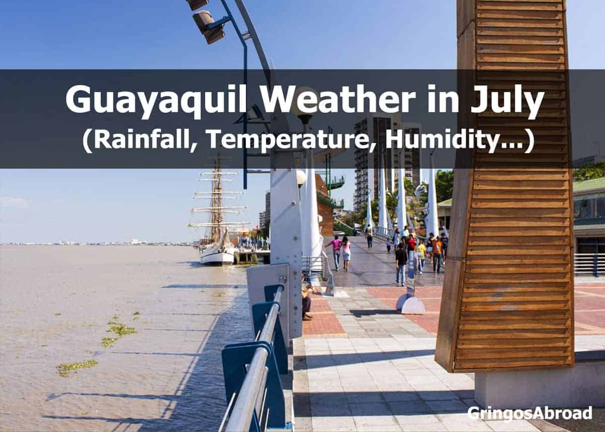
 Weather on Ecuador’s Pacific Coast in July (Guayaquil)
- Elevation: 30 feet / 9 meters
- Hours of Daylight: 12.4 hours
Guayaquil Temperatures in July
- Average High: 84°F / 28°C
- Average Low: 70°F / 21°C
Rain in Guayaquil in July
- Average precipitation: 0.1 in / 2.54 mm
- Average days with precipitation: 2
- Average relative humidity: 75%
Do you know what makes Ecuador famous? Learn more in this post: 16 Fameworthy People, Places, and Food.
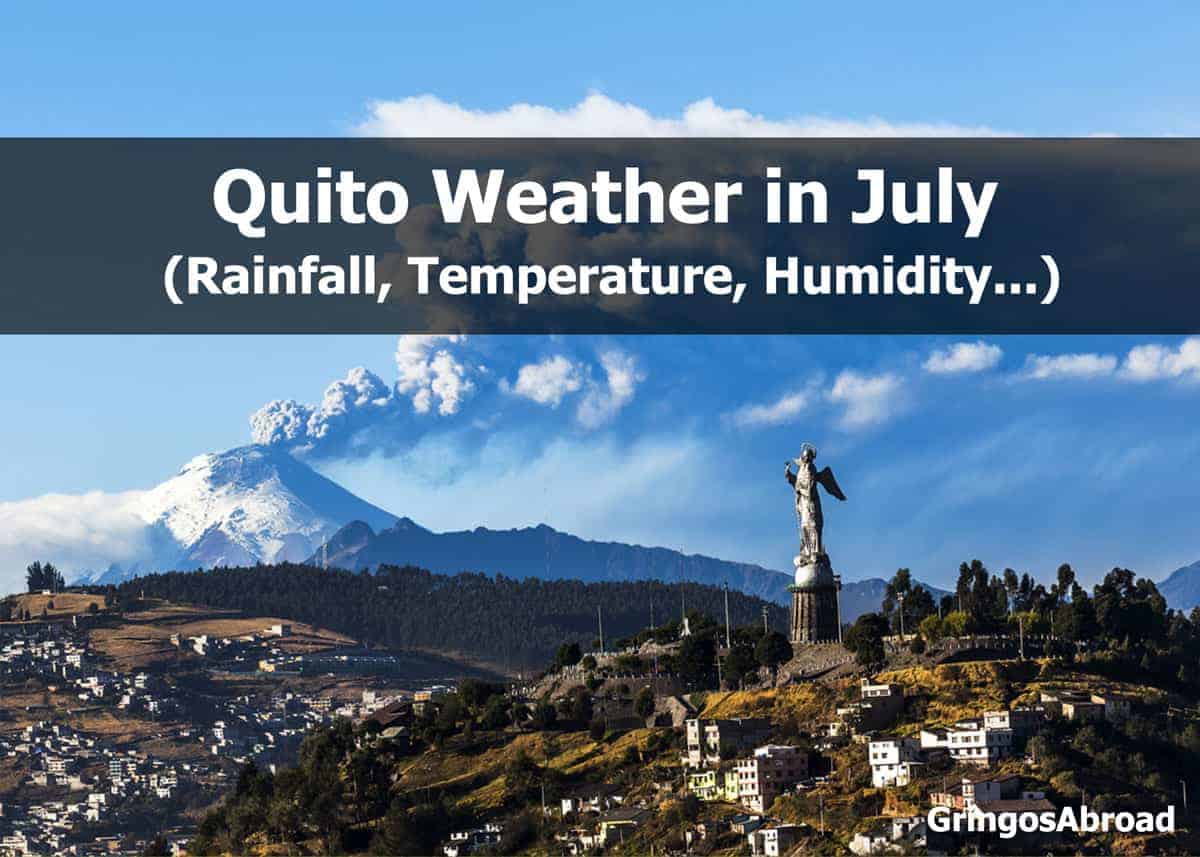
 Weather in Ecuador’s Andes in July: Quito
- Elevation: 9223 feet / 2811 meters
- Hours of Daylight: 12.5 hours
Quito Temperatures in July
- Average High: 67°F / 19°C
- Average Low: 49°F / 9°C
Rain in Quito in July
- Average precipitation: 0.8 in. / 20 mm
- Average number of days with precipitation: 7
- Average Relative Humidity: 65%
Quito and Cuenca are popular cities for foreigners. Learn about Living in Ecuador with this detailed guide.
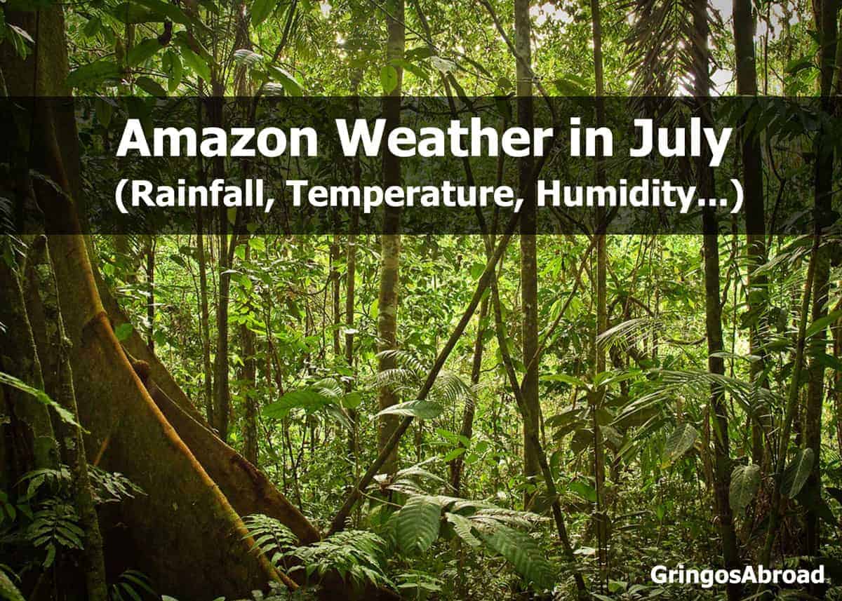
 Weather in Ecuador’s Amazon in July (Puyo)
- Elevation: 3117 feet / 950 meters
- Hours of Daylight: 12.4 hours
Amazon Temperatures in July
- Average High: 71°F / 21°C
- Average Low: 58°F / 15°C
Rain in the Amazon in July
- Average precipitation: 10.5 in. / 389 mm
- Average days with precipitation: 31
- Average relative humidity: 76%
Are you planning to learn some Spanish before your trip? What’s the best way to learn? Here are the four primary methods for learning Spanish compared.
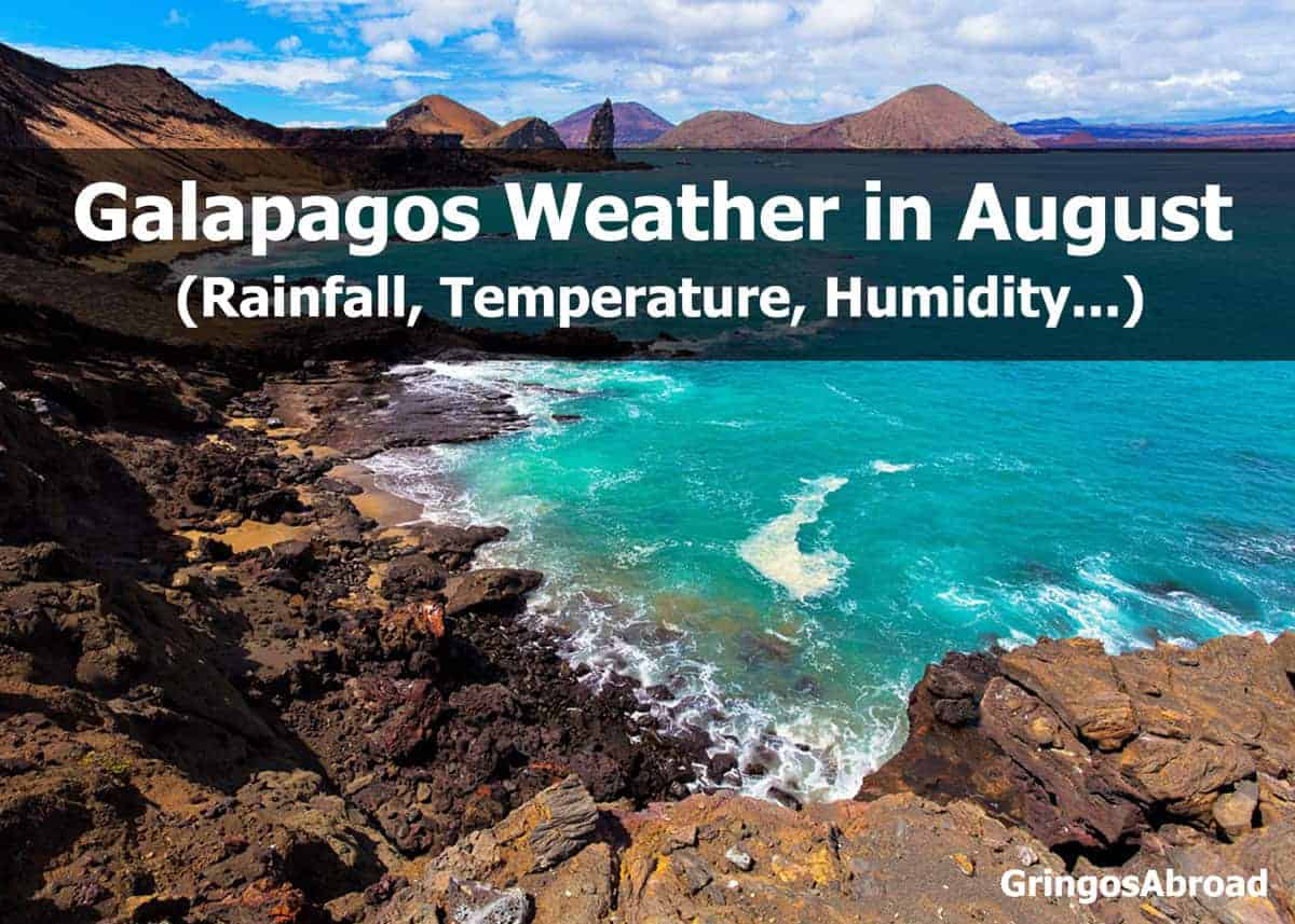
 Galapagos Weather in August (Puerto Ayora)
The following statistics are based on the town of Puerto Ayora, located on the southern coast of Santa Cruz Island. Weather patterns and temperatures don’t vary much from one island to the next.
- Elevation: 49 feet / 15 meters
- Hours of Daylight: 12.4 hours
Galapagos Temperatures in August
- Average High: 84°F / 29°C
- Average Low: 65°F / 18°C
Rain in Galapagos in August
- Average precipitation: 0.5 in. / 13 mm
- Average days with precipitation: 7
- Average relative humidity: 81%
Learn more about Ecuador currency.
 Weather on Ecuador’s Pacific Coast in August (Guayaquil)
- Elevation: 30 feet / 9 meters
- Hours of Daylight: 12.4 hours
Guayaquil Temperatures in August
- Average High: 84°F / 28°C
- Average Low: 69°F / 21°C
Rain in Guayaquil in August
- Average precipitation: —
- Average days with precipitation: 1
- Average relative humidity: 75%
Did you know that you can see the blue morpho butterfly on the coast and in the Amazon? We were surprised to see one fly by and land in the grass while picnicking in Guayaquil. Learn more about blue morpho butterflies.
Guayaquil is one of two international airports in Ecuador and is a popular departure point for travel to the Galapagos Islands. The other international airport is located in Quito – high in Ecuador’s mountains.
 Weather in Ecuador’s Andes in August: Quito
- Elevation: 9223 feet / 2811 meters
- Hours of Daylight: 12.5 hours
Quito Temperatures in August
- Average High: 67°F / 19°C
- Average Low: 49°F / 9°C
Rain in Quito in August
- Average precipitation: 0.8 in. / 20 mm
- Average number of days with precipitation: 6
- Average Relative Humidity: 60%
Otavalo is located north of Quito. If you’re planning to visit, you should check out our traveler’s guide to Otavalo Market.
 Weather in Ecuador’s Amazon in August (Puyo)
- Elevation: 3117 feet / 950 meters
- Hours of Daylight: 12.4 hours
Amazon Temperatures in August
- Average High: 72°F / 22°C
- Average Low: 59°F / 15°C
Rain in the Amazon in August
- Average precipitation: 13.6 in. / 346 mm
- Average days with precipitation: 30
- Average relative humidity: 81%
Mangos are popular across the country. And they can be super messy to eat. How do you eat them? Here are three ways to eat a mango, plus three steps to peel it.
 Galapagos Weather in September (Puerto Ayora)
The following statistics are based on the town of Puerto Ayora, located on the southern coast of Santa Cruz Island. From a visitor’s perspective, the weather patterns and temperatures don’t vary much from one island to the next.
- Elevation: 49 feet / 15 meters
- Hours of Daylight: 12.5 hours
Galapagos Temperatures in September
- Average High: 81°F / 27°C
- Average Low: 66°F / 19°C
Rain in Galapagos in September
- Average precipitation: 0.8 in. / 20 mm
- Average days with precipitation: 12
- Average relative humidity: 81%
Sure, the Galapagos Islands are famous for the three booby birds (blue-footed, red-footed, and Nazca), but what about the others? Learn more about the Galapagos hawk and the swallow-tailed gull.
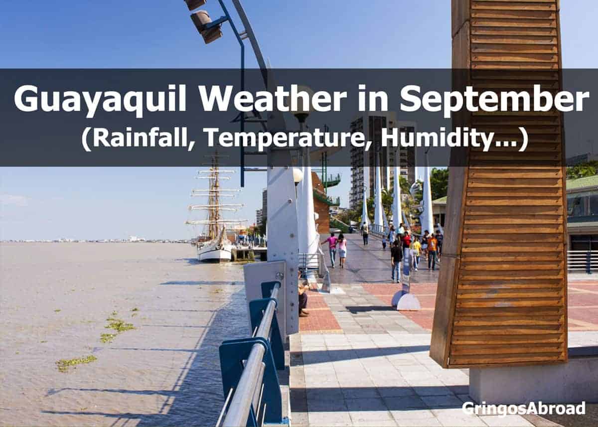
 Weather on Ecuador’s Pacific Coast in September (Guayaquil)
- Elevation: 30 feet / 9 meters
- Hours of Daylight: 12.4 hours
Guayaquil Temperatures in September
- Average High: 86°F / 30°C
- Average Low: 70°F / 21°C
Rain in Guayaquil in September
- Average precipitation: —
- Average days with precipitation: 2
- Average relative humidity: 75%
Guayaquil is one of two international airports in Ecuador and is a popular departure point for travel to the Galapagos Islands. Ecuador’s other international airport is located in Quito – high in Ecuador’s mountains.
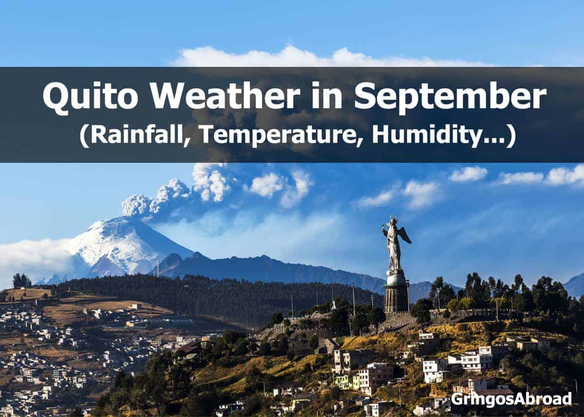
 Weather in Ecuador’s Andes in September: Quito
- Elevation: 9223 feet / 2811 meters
- Hours of Daylight: 12.5 hours
Quito Temperatures in September
- Average High: 68°F / 20°C
- Average Low: 49°F / 9°C
Rain in Quito in September
- Average precipitation: 3.1 in. / 70 mm
- Average number of days with precipitation: 11
- Average Relative Humidity: 70%
Cuenca is located at a slightly lower altitude than Quito and has similar weather. That means it can rain without much warning.
Worried about not finding a hotel room in Ecuador? Check this guide to holidays in Ecuador – and know when the busy times are.
 Weather in Ecuador’s Amazon in September (Puyo)
- Elevation: 3117 feet / 950 meters
- Hours of Daylight: 12.4 hours
Amazon Temperatures in September
- Average High: 72°F / 22°C
- Average Low: 59°F / 15°C
Rain in the Amazon in September
- Average precipitation: 10.8 in. / 273 mm
- Average days with precipitation: 30
- Average relative humidity: 79%
Learn more about chicha – a fermented saliva-based drink found in Ecuador’s Amazon region.
Galapagos Weather in October (Puerto Ayora)
The following statistics are based on the town of Puerto Ayora, located on the southern coast of Santa Cruz Island. Weather patterns and temperatures don’t vary much from one island to the next.
- Elevation: 49 feet / 15 meters
- Hours of Daylight: 12.5 hours
Galapagos Temperatures in October
- Average High: 84°F / 29°C
- Average Low: 66°F / 19°C
Rain in Galapagos in October
- Average precipitation: 1.1 in. / 27 mm
- Average days with precipitation: 8
- Average relative humidity: 78%
Don’t forget to bring your camera to the Galapagos!
Weather on Ecuador’s Pacific Coast in October (Guayaquil)
- Elevation: 30 feet / 9 meters
- Hours of Daylight: 12.5 hours
Guayaquil Temperatures in October
- Average High: 85°F / 29°C
- Average Low: 71°F / 21°C
Rain in Guayaquil in October
- Average precipitation: —
- Average days with precipitation: 2
- Average relative humidity: 75%
Guayaquil is home to one of two international airports in Ecuador and is a popular departure point for travel to the Galapagos Islands. It is also Ecuador’s largest city. Learn more about the other cities in Ecuador.
Weather in Ecuador’s Andes in October: Quito
- Elevation: 9223 feet / 2811 meters
- Hours of Daylight: 12.5 hours
Quito Temperatures in October
- Average High: 67°F / 19°C
- Average Low: 49°F / 9°C
Rain in Quito in October
- Average precipitation: 5 in. / 120 mm
- Average number of days with precipitation: 15
- Average Relative Humidity: 75%
Cuenca is located at a slightly lower altitude than Quito and has similar weather. Cuenca is popular among expat and travelers. What’s it like to live in Cuenca Ecuador?
Planning to learn Spanish before your trip? Here is our reader’s choice for the best book to learn Spanish.
Weather in Ecuador’s Amazon in October (Puyo)
- Elevation: 3117 feet / 950 meters
- Hours of Daylight: 12.5 hours
Amazon Temperatures in October
- Average High: 72°F / 22°C
- Average Low: 61°F / 16°C
Rain in the Amazon in October
- Average precipitation: 13 in. / 330 mm
- Average days with precipitation: 30
- Average relative humidity: 81%
Learn more about the powerful harpy eagle. It has a range from Mexico to South America and is considered the world’s most powerful eagle.
Galapagos Weather in November (Puerto Ayora)
The following statistics are based on the town of Puerto Ayora, located on the southern coast of Santa Cruz Island. Weather patterns and temperatures don’t vary much from one island to the next.
- Elevation: 49 feet / 15 meters
- Hours of Daylight: 12.5 hours
Galapagos Temperatures in November
- Average High: 85°F / 29.4°C
- Average Low: 67°F / 19.4°C
Rain in Galapagos in November
- Average precipitation: 1.4 in. / 35 mm
- Average days with precipitation: 7
- Average relative humidity: 78%
Don’t forget to bring a dry bag for your travels! Keep ocean spray and rain off your important gear.
Weather on Ecuador’s Pacific Coast in November (Guayaquil)
- Elevation: 30 feet / 9 meters
- Hours of Daylight: 12.6 hours
Guayaquil Temperatures in November
- Average High: 86°F / 30°C
- Average Low: 72°F / 22°C
Rain in Guayaquil in November
- Average precipitation: 0.1 in. / —
- Average days with precipitation: 3
- Average relative humidity: 70%
Weather in Ecuador’s Andes in November: Quito
- Elevation: 9223 feet / 2811 meters
- Hours of Daylight: 12.5 hours
Quito Temperatures in November
- Average High: 67°F / 19°C
- Average Low: 49°F / 9°C
Rain in Quito in November
- Average precipitation: 4.3 in. / 100 mm
- Average number of days with precipitation: 16
- Average Relative Humidity: 80%
Cuenca is located at a slightly lower altitude than Quito and has similar weather.
Weather in Ecuador’s Amazon in November (Puyo)
- Elevation: 3117 feet / 950 meters
- Hours of Daylight: 12.6 hours
Amazon Temperatures in November
- Average High: 72°F / 22°C
- Average Low: 61°F / 16°C
Rain in the Amazon in November
- Average precipitation: 14.5 in. / 370 mm
- Average days with precipitation: 29
- Average relative humidity: 84%
Learn more about some of the rainforest animals you can see in the Amazon.
Galapagos Weather in December (Puerto Ayora)
The following statistics are based on the town of Puerto Ayora, located on the southern coast of Santa Cruz Island. Weather patterns and temperatures don’t vary much from one island to the next.
- Elevation: 49 feet / 15 meters
- Hours of Daylight: 12.5 hours
Galapagos Temperatures in December
- Average High: 86°F / 30°C
- Average Low: 69°F / 20.6°C
Rain in Galapagos in December
- Average precipitation: 0.9 in. / 22 mm
- Average days with precipitation: 9
- Average relative humidity: 80%
Learn more about the sally lightfoot crab you can see in the Galapagos.
Weather on Ecuador’s Pacific Coast in December (Guayaquil)
- Elevation: 30 feet / 9 meters
- Hours of Daylight: 12.6 hours
Guayaquil Temperatures in December
- Average High: 88°F / 31°C
- Average Low: 73°F / 22°C
Rain in Guayaquil in December
- Average precipitation: 1.2 in. / 30 mm
- Average days with precipitation: 7
- Average relative humidity: 70%
Learn more about Guayaquil weather in this detailed guide.
Weather in Ecuador’s Andes in December: Quito
- Elevation: 9223 feet / 2811 meters
- Hours of Daylight: 12.5 hours
Quito Temperatures in December
- Average High: 66°F / 18°C
- Average Low: 50°F / 10°C
Rain in Quito in December
- Average precipitation: 4.1 in. / 100 mm
- Average number of days with precipitation: 15
- Average Relative Humidity: 80%
Cuenca is located at a slightly lower altitude than Quito and has similar weather. Take a driving tour of Cuenca in this 12-video post.
Weather in Ecuador’s Amazon in December (Puyo)
- Elevation: 3117 feet / 950 meters
- Hours of Daylight: 12.6 hours
Amazon Temperatures in December
- Average High: 70°F / 21°C
- Average Low: 59°F / 15°C
Rain in the Amazon in December
- Average precipitation: 13.5 in. / 334 mm
- Average days with precipitation: 31
- Average relative humidity: 88%
Learn more about Yasuni National Park – a biodiverse area in Ecuador’s Amazon region.
Planning for Ecuador Weather
As you can see, the weather is relatively moderate in Ecuador. One thing you can count on is plenty of sun and plenty of rain (depending on the season).
To be prepared, the most important gear you can bring is a good sun hat and a sturdy umbrella. Of course, your umbrella can serve to protect you from both sun and rain – but it can be hard to take pictures with one hand full of your umbrella.
If you expect the unexpected, then you’ll be prepared. It’s a good idea to travel with these few basics – and then a surprise rain shower or strong equatorial sun won’t take the fun out of your day.
What’s Ecuador’s Climate?
The climate in Ecuador is moderate. It rains a lot in the rainforest, the temperature hardly changes in the Galapagos, and the Andes has a spring-like climate all year.
Ready to explore Ecuador? Check out our Ecuador Travel Guide
Your Turn
Have a question about Ecuador weather? Have a detail to add? Please join me in the comments!

 Weather on Ecuador’s Pacific Coast in February (Guayaquil)
 Weather in Ecuador’s Amazon in February (Puyo)
 Weather on Ecuador’s Pacific Coast in March (Guayaquil)
 Galapagos Weather in May (Puerto Ayora)
 Weather on Ecuador’s Pacific Coast in May (Guayaquil)
 Weather in Ecuador’s Andes in May: Quito
 Weather in Ecuador’s Amazon in May (Puyo)
 Galapagos Weather in June (Puerto Ayora)
 Weather on Ecuador’s Pacific Coast in June (Guayaquil)
 Weather in Ecuador’s Andes in June: Quito
 Weather in Ecuador’s Amazon in June (Puyo)
 Galapagos Weather in July (Puerto Ayora)
 Weather on Ecuador’s Pacific Coast in July (Guayaquil)
 Weather in Ecuador’s Andes in July: Quito
 Weather in Ecuador’s Amazon in July (Puyo)
 Galapagos Weather in August (Puerto Ayora)
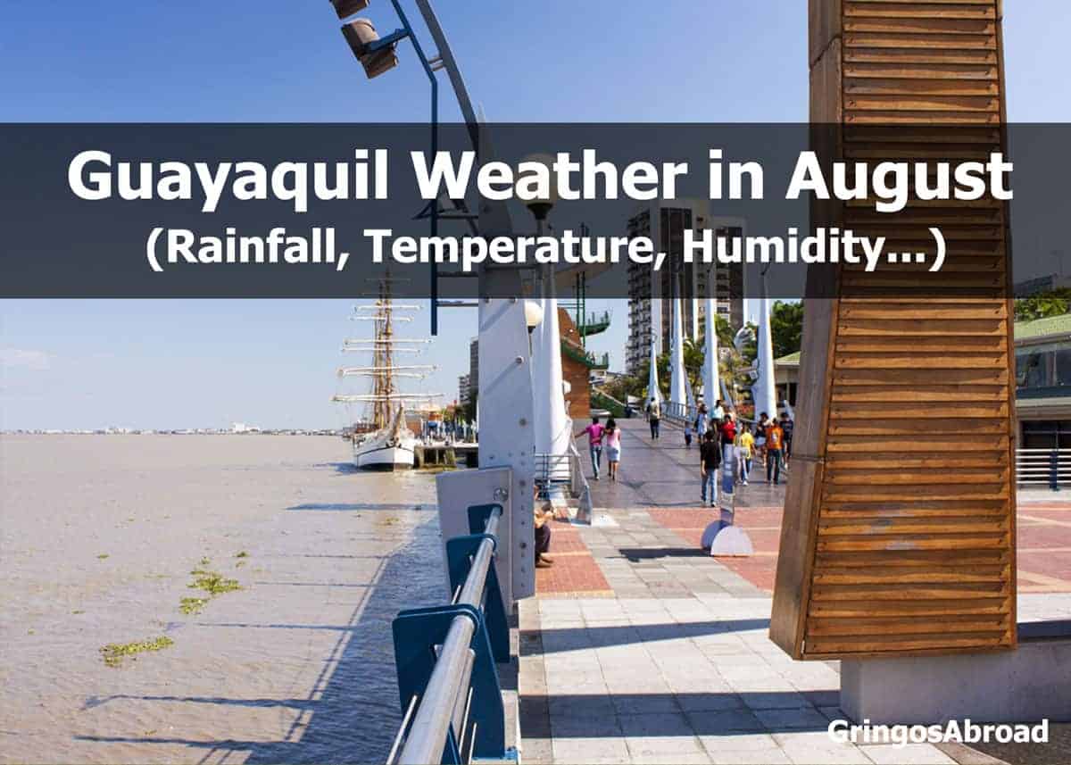 Weather on Ecuador’s Pacific Coast in August (Guayaquil)
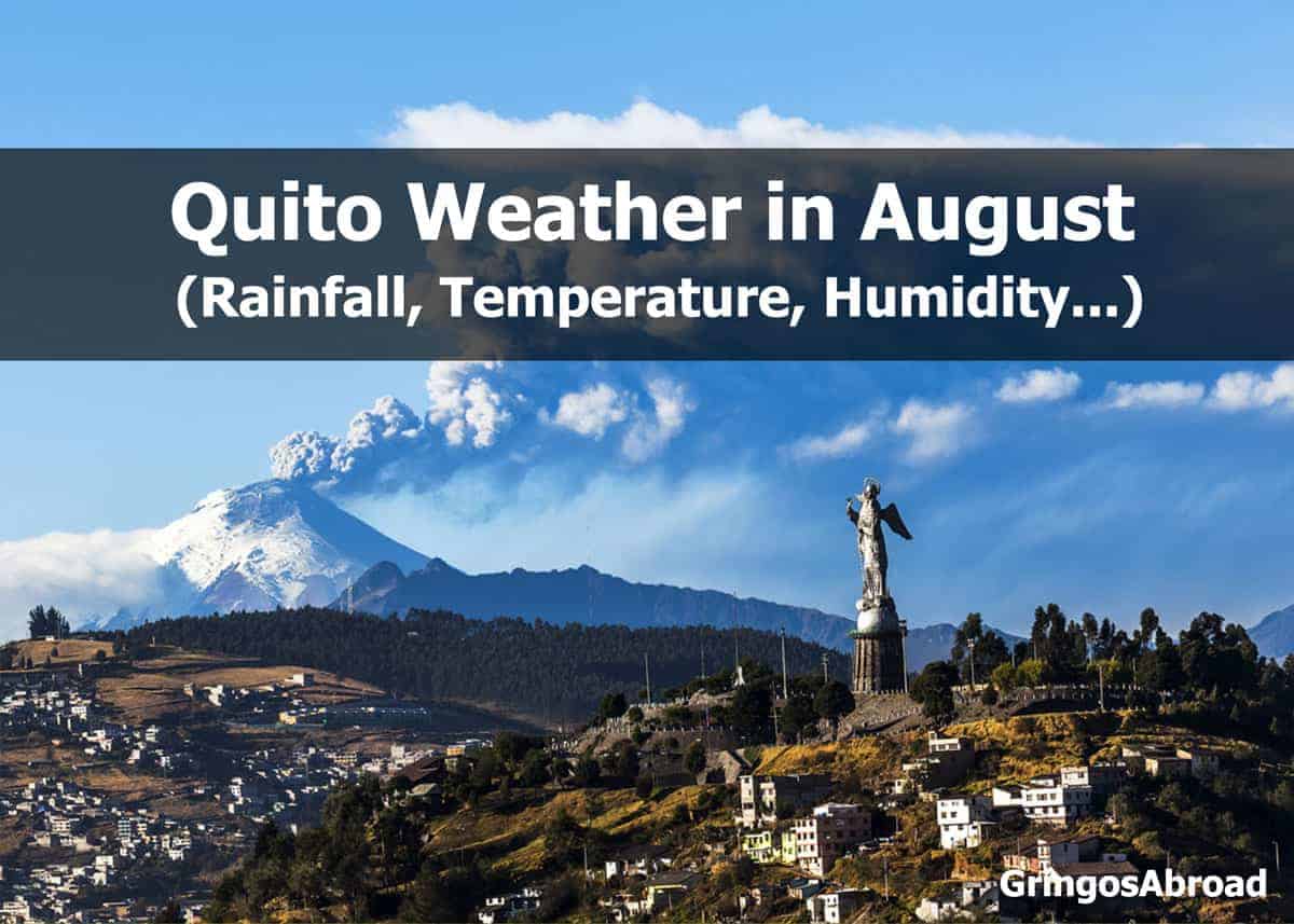 Weather in Ecuador’s Andes in August: Quito
 Weather in Ecuador’s Amazon in August (Puyo)
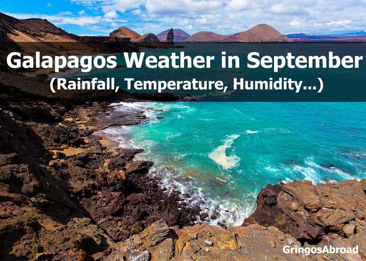 Galapagos Weather in September (Puerto Ayora)
 Weather on Ecuador’s Pacific Coast in September (Guayaquil)
 Weather in Ecuador’s Andes in September: Quito
 Weather in Ecuador’s Amazon in September (Puyo)